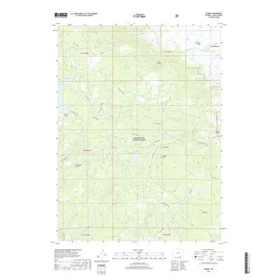
2017 Map of Albany
USGS Topo · Published 2017About this map
Medicine Bow National Forest dominates this section of the Medicine Bow Mountains in southeastern Wyoming. The landscape is defined by high-elevation peaks including Spruce Mtn and Lake Mtn, which overlook the headwaters of the Laramie River system. Water is a central feature of the terrain, with the Rob Roy Reservoir in the west and the branching paths of the Middle Fork Little Laramie River and S Fork Little Laramie River flowing toward the Centennial Valley. Small settlements like Albany and Deerwood sit at the forest's edge, connected by a network of timber and access roads such as Keystone Rd and Cinnabar Park Rd. The topography shifts from the dramatic depths of Hells Canyon to the broad drainage of Douglas Cr, illustrating the complex hydrology of this mountain range.
Find a feature on this map
43 named features on this map. Tap any name to fly to it.
Don’t see what you’re looking for? This feature index may not catch every label — zoom into the map to look around manually.
Map Details
Editions of this 2017 Albany Map
This is the sole edition of this map. No revisions or reprints were ever made.
Other maps of this area

1906 · Medicine Bow
USGS Topo · 1:125,000

1908 · Medicine Bow
USGS Topo · 1:125,000

1954 · Rawlins
USGS Topo · 1:250,000

1958 · Rawlins
USGS Topo · 1:250,000
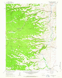
1961 · Woods Landing
USGS Topo · 1:24,000
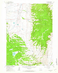
1961 · Lake Owen
USGS Topo · 1:24,000
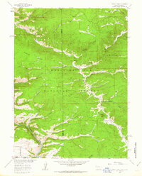
1961 · Horatio Rock
USGS Topo · 1:24,000

1961 · Medicine Bow Peak
USGS Topo · 1:24,000
1961 · Foxpark
USGS Topo · 1:24,000
1961 · Centennial
USGS Topo · 1:24,000