2021 Map of Albany
USGS Topo · Published 2021About this map
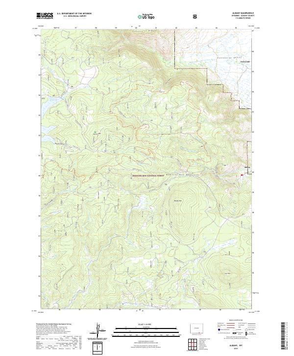
Medicine Bow National Forest dominates the high-elevation terrain of this Wyoming survey, where the Medicine Bow Mountains define a landscape shaped by hydrology and forest management. Small settlements like Albany and Deerwood sit on the eastern margins of the mountains, overlooking the Centennial Valley. The drainage system is particularly intricate, featuring the Middle Fork Little Laramie River and the S Fork Little Laramie River, which carve through the foothills alongside numerous smaller tributaries like Douglas Cr and Curitan Cr.
Find a feature on this map
43 named features on this map. Tap any name to fly to it.
Don’t see what you’re looking for? This feature index may not catch every label — zoom into the map to look around manually.
Map Details
Editions of this 2021 Albany Map
This is the sole edition of this map. No revisions or reprints were ever made.