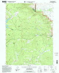
1992 Map of Albany
USGS Topo · Published 1996About this map
The Medicine Bow National Forest dominates this landscape in the early 1990s, revealing a terrain defined by high-elevation parks and timbered ridges. High points like Spruce Mountain are anchored by the Spruce Mountain Lookout, overlooking a complex drainage system including Douglas Creek and the Middle Fork Little Laramie River. The presence of Rob Roy Reservoir and various segments of Aqueduct highlights the managed water infrastructure of the region.
Find a feature on this map
35 named features on this map. Tap any name to fly to it.
Don’t see what you’re looking for? This feature index may not catch every label — zoom into the map to look around manually.
Map Details
Editions of this 1992 Albany Map
This is the sole edition of this map. No revisions or reprints were ever made.
Other maps of this area

1906 · Medicine Bow
USGS Topo · 1:125,000

1908 · Medicine Bow
USGS Topo · 1:125,000

1954 · Rawlins
USGS Topo · 1:250,000

1958 · Rawlins
USGS Topo · 1:250,000
1961 · Woods Landing
USGS Topo · 1:24,000
1961 · Lake Owen
USGS Topo · 1:24,000
1961 · Horatio Rock
USGS Topo · 1:24,000

1961 · Medicine Bow Peak
USGS Topo · 1:24,000
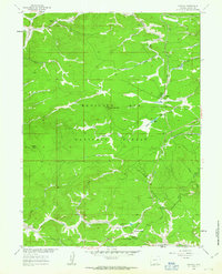
1961 · Foxpark
USGS Topo · 1:24,000
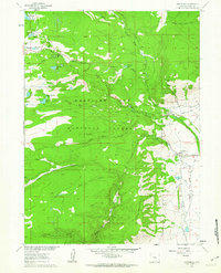
1961 · Centennial
USGS Topo · 1:24,000