
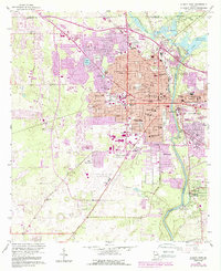
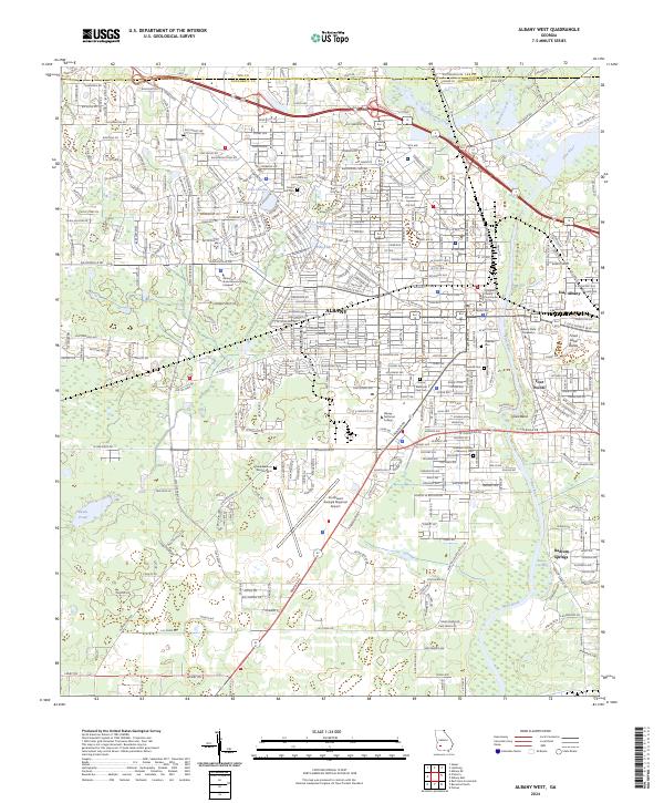
2024 Map of Albany East
USGS Topo · Published 2024This historical map portrays the area of Albany East in 2024, primarily covering Dougherty County as well as portions of Lee County and Worth County. Featuring a scale of 1:24000, this map provides a highly detailed snapshot of the terrain, roads, buildings, counties, and historical landmarks in the Albany East region at the time. Published in 2024, it is the sole known edition of this map.
Find a feature on this map
176 named features on this map. Tap any name to fly to it.
Don’t see what you’re looking for? This feature index may not catch every label — zoom into the map to look around manually.
Map Details
Editions of this 2024 Albany East Map
This is the sole edition of this map. No revisions or reprints were ever made.
Historical Maps of Turner City Through Time
13 maps found
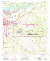
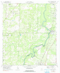
1956 Albany East
Dougherty County, GA
1956 Albany West
Dougherty County, GA
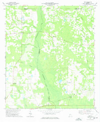
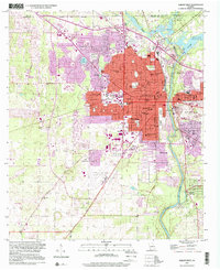
1973 Holt
Dougherty County, GA
1973 Pretoria
Dougherty County, GA
1974 Baconton North
Dougherty County, GA
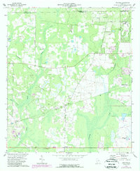
1974 Red Store Crossroads
Dougherty County, GA
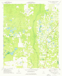
1997 Albany West
Dougherty County, GA
2024 Albany East
Dougherty County, GA
2024 Albany West
Dougherty County, GA
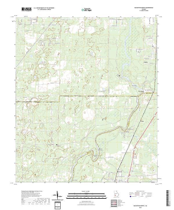
2024 Baconton North
Dougherty County, GA
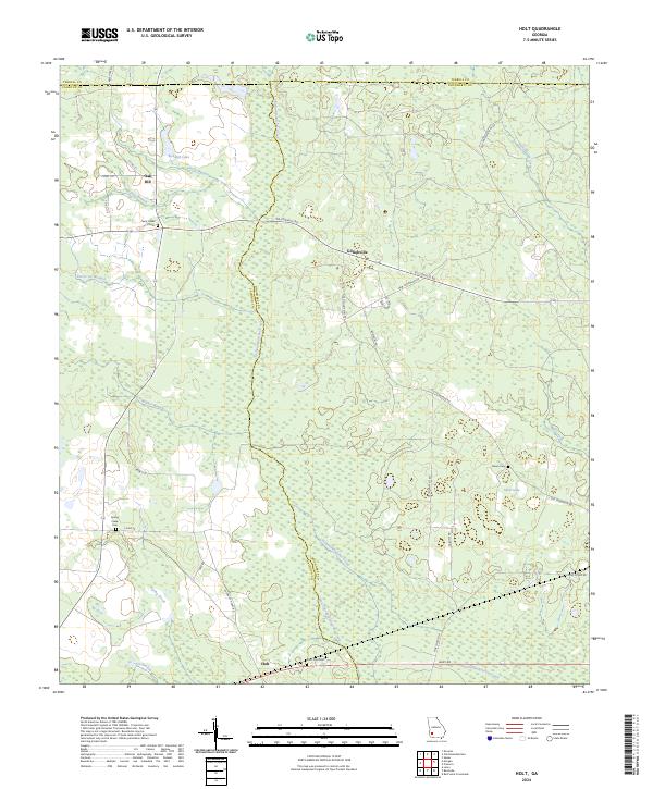
2024 Holt
Dougherty County, GA
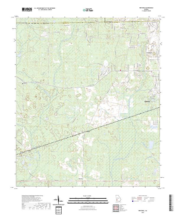
2024 Pretoria
Dougherty County, GA
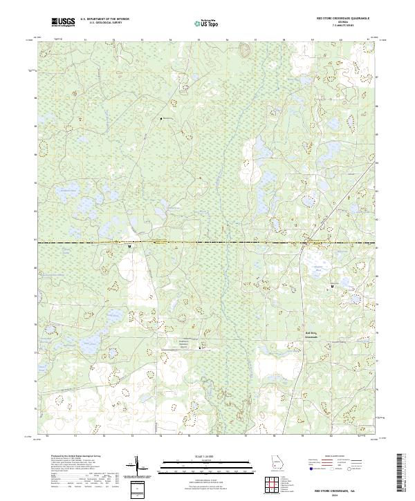
2024 Red Store Crossroads
Dougherty County, GA