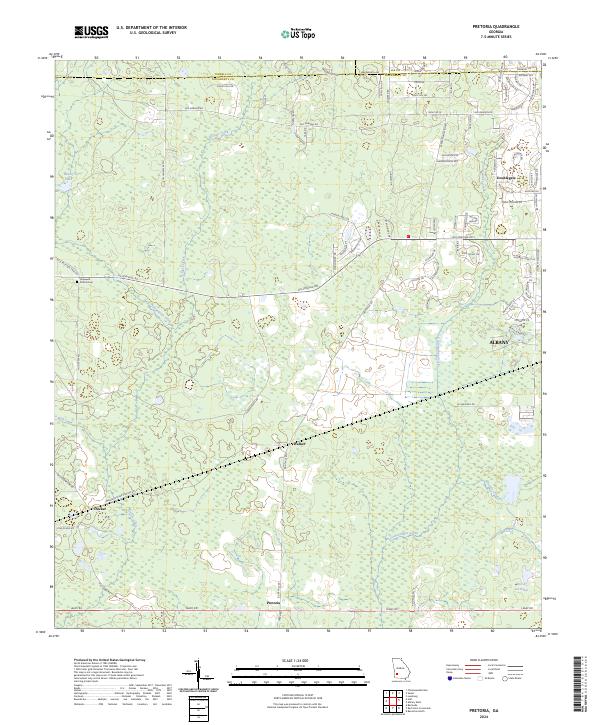
2024 Map of Pretoria
USGS Topo · Published 2024About this map
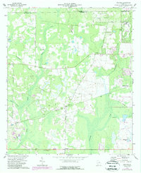
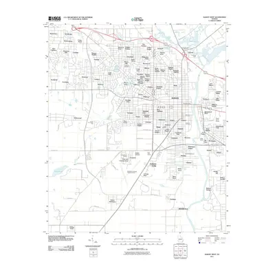
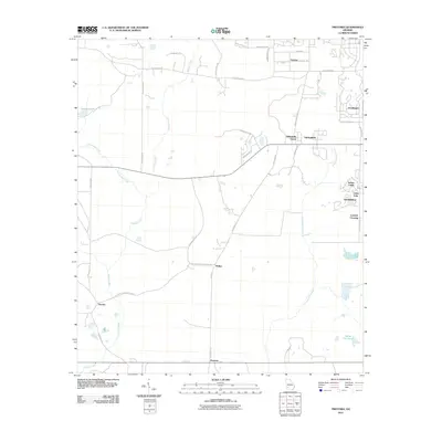
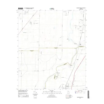
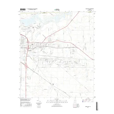
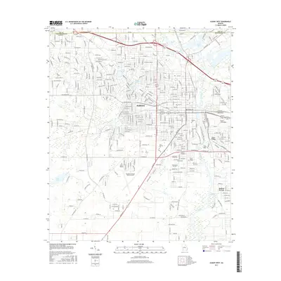
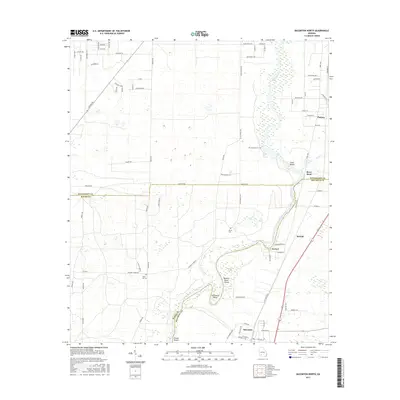
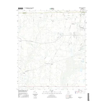
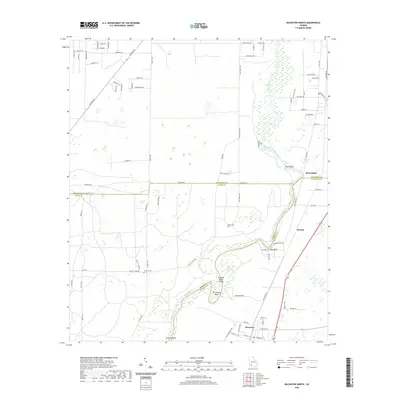
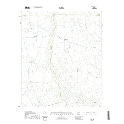
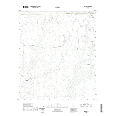
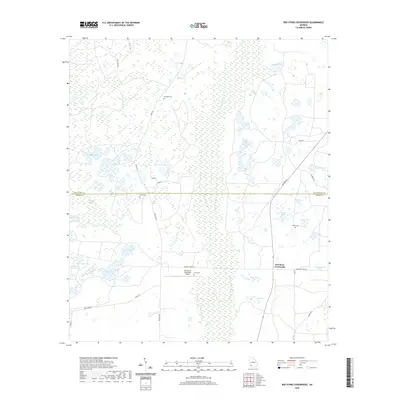
Pretoria and Ducker anchor the southwestern landscape of this Dougherty County study, where small settlements are connected by a network of rural roads such as Old Dawson Road and Leary Road. The terrain is defined by a complex hydrology of winding waterways, including Kiokee Creek, Tullahassee Creek, and Cooleewahee Creek, which drain the low-lying areas characterized by numerous small basins and wetlands.
Find a feature on this map
85 named features on this map. Tap any name to fly to it.
Don’t see what you’re looking for? This feature index may not catch every label — zoom into the map to look around manually.
Map Details
Editions of this 2024 Pretoria Map
This is the sole edition of this map. No revisions or reprints were ever made.
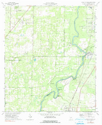
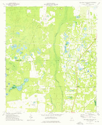
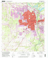
Historical Maps of Albany Through Time
37 maps found
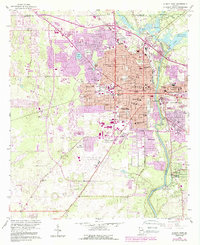
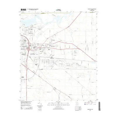
1956 Albany East
Dougherty County, GA
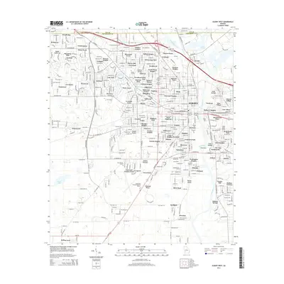
1956 Albany West
Dougherty County, GA
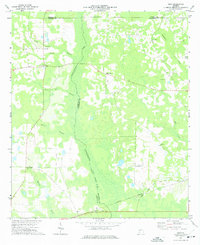
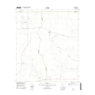
1973 Holt
Dougherty County, GA
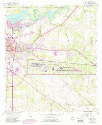
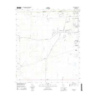
1973 Pretoria
Dougherty County, GA
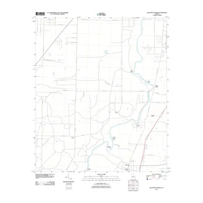
1974 Baconton North
Dougherty County, GA
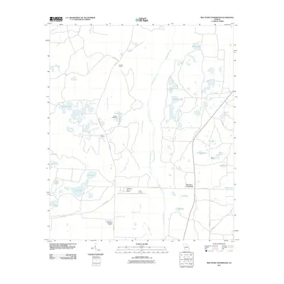
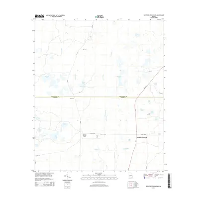
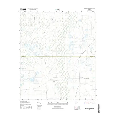
1974 Red Store Crossroads
Dougherty County, GA
1997 Albany West
Dougherty County, GA
2011 Albany East
Dougherty County, GA
2011 Albany West
Dougherty County, GA
2011 Baconton North
Dougherty County, GA
2011 Holt
Dougherty County, GA
2011 Pretoria
Dougherty County, GA
2011 Red Store Crossroads
Dougherty County, GA
2014 Albany East
Dougherty County, GA
2014 Albany West
Dougherty County, GA
2014 Baconton North
Dougherty County, GA
2014 Holt
Dougherty County, GA
2014 Pretoria
Dougherty County, GA
2014 Red Store Crossroads
Dougherty County, GA
2017 Albany East
Dougherty County, GA
2017 Albany West
Dougherty County, GA
2017 Baconton North
Dougherty County, GA
2017 Holt
Dougherty County, GA
2017 Pretoria
Dougherty County, GA
2017 Red Store Crossroads
Dougherty County, GA
2020 Albany East
Dougherty County, GA
2020 Albany West
Dougherty County, GA
2020 Baconton North
Dougherty County, GA
2020 Holt
Dougherty County, GA
2020 Pretoria
Dougherty County, GA
2020 Red Store Crossroads
Dougherty County, GA

2024 Albany East
Dougherty County, GA
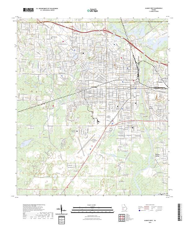
2024 Albany West
Dougherty County, GA
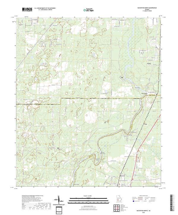
2024 Baconton North
Dougherty County, GA
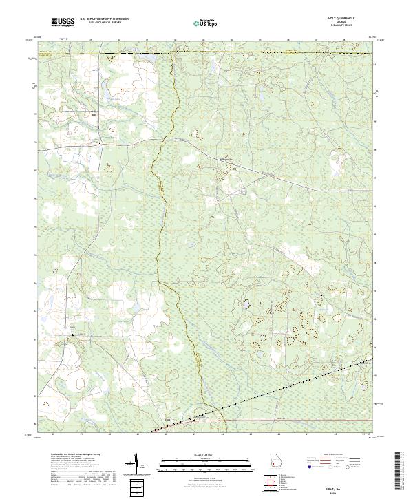
2024 Holt
Dougherty County, GA
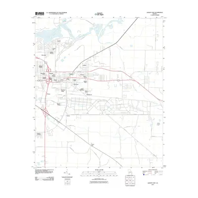
2024 Pretoria
Dougherty County, GA
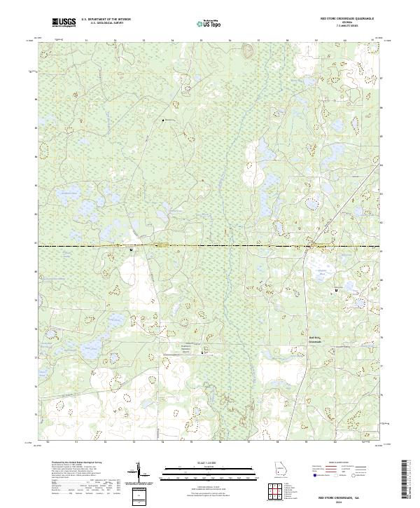
2024 Red Store Crossroads
Dougherty County, GA