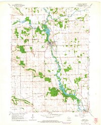
1962 Map of Albany
USGS Topo · Published 1964About this map
Sugar River meanders through Green County, defining the industrial and geographic character of Albany and the surrounding townships in the early 1960s. The river's path is marked by significant impoundments at Albany Lake and Decatur Lake, reflecting a landscape managed for both water power and recreation. The Chicago Milwaukee St Paul and Pacific railroad tracks parallel the river valley, serving as a primary corridor for the transport of agricultural goods and resources from local extraction sites like the Quarry and various Gravel Pits.
Find a feature on this map
34 named features on this map. Tap any name to fly to it.
Don’t see what you’re looking for? This feature index may not catch every label — zoom into the map to look around manually.
Map Details
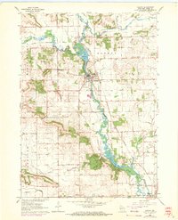
Editions of this 1962 Albany Map
2 editions found
Other maps of this area

1889 · Evansville
USGS Topo · 1:62,500

1893 · Brodhead
USGS Topo · 1:62,500

1894 · Evansville
USGS Topo · 1:62,500

1906 · Evansville
USGS Topo · 1:62,500

1920 · Monroe
USGS Topo · 1:62,500

1922 · Monroe
USGS Topo · 1:62,500

1923 · New Glarus
USGS Topo · 1:62,500

1954 · Rockford
USGS Topo · 1:250,000

1955 · Rockford
USGS Topo · 1:250,000

1958 · Rockford
USGS Topo · 1:250,000