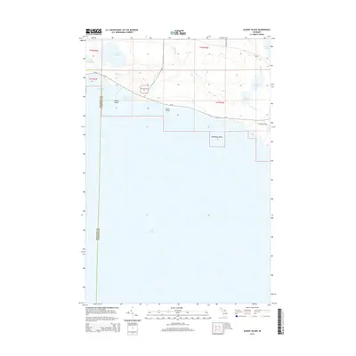
2014 Map of Albany Island
USGS Topo · Published 2014About this map
Hiawatha NF lands meet the northern shore of Lake Huron in this coastal survey of Clark Township. The landscape is defined by the transition from protected inland waters like Big Trout Lake and Little Trout Lake to the exposed limestone points and harbors of the Lake Huron coast. Albany Island and Saddlebag Island sit just offshore, shielding Albany Harbor and Albany Bay, which have served as natural refuges for maritime traffic. Inland, the hydrology is a network of small streams and ponds, including Trout Creek and Joe Straw Creek, which drain through cedar swamps and mixed forests. To the east, the area around Cranberry Lake and Caribou Lake shows the influence of early rural road networks like Old Ln and S Polaczyk Rd cutting through the timbered tracts of the Upper Peninsula.
Find a feature on this map
24 named features on this map. Tap any name to fly to it.
Don’t see what you’re looking for? This feature index may not catch every label — zoom into the map to look around manually.
Map Details
Editions of this 2014 Albany Island Map
This is the sole edition of this map. No revisions or reprints were ever made.
Other maps of this area

1954 · Alpena
USGS Topo · 1:250,000

1954 · Sault Sainte Marie
USGS Topo · 1:250,000

1955 · Cheboygan
USGS Topo · 1:250,000

1956 · Sault Sainte Marie
USGS Topo · 1:250,000

1957 · Alpena
USGS Topo · 1:250,000

1957 · Sault Sainte Marie
USGS Topo · 1:250,000

1958 · Cheboygan
USGS Topo · 1:250,000

1958 · Alpena
USGS Topo · 1:250,000

1958 · Sault Sainte Marie
USGS Topo · 1:250,000

1961 · Blind River
USGS Topo · 1:250,000