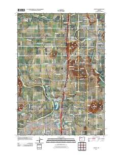
2011 Map of Albany
USGS Topo · Published 2011About this map
The Willamette River and Santiam River converge in this Willamette Valley landscape, shaping the development of Albany and Jefferson. The map illustrates a complex hydraulic network where natural water bodies like Thornton Lake and Waverly Lake meet man-made features such as the Jefferson Ditch. Transportation remains a central theme, shown through the SP Connection Albany rail infrastructure and the Albany Yard, alongside regional aviation hubs like the Albany Municipal Airport and Propst Airfield.
Find a feature on this map
111 named features on this map. Tap any name to fly to it.
Don’t see what you’re looking for? This feature index may not catch every label — zoom into the map to look around manually.
Map Details
Editions of this 2011 Albany Map
This is the sole edition of this map. No revisions or reprints were ever made.
Other maps of this area

1911 · Lebanon
USGS Topo · 1:31,680

1911 · Tangent
USGS Topo · 1:31,680

1912 · Jefferson
USGS Topo · 1:31,680

1913 · Oakville
USGS Topo · 1:31,680

1913 · Wells
USGS Topo · 1:31,680

1914 · Independence
USGS Topo · 1:31,680

1915 · Sidney
USGS Topo · 1:31,680

1916 · Albany
USGS Topo · 1:62,500

1917 · Salem
USGS Topo · 1:62,500

1921 · Lebanon
USGS Topo · 1:62,500