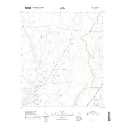
2020 Map of Albany NE
USGS Topo · Published 2020About this map
The Flint River meanders along the eastern border of this South Georgia landscape, where Lee, Worth, and Dougherty counties meet. The area is defined by a dense network of blackwater streams and ponds, including Muckalee Creek and the marshy expanses of Coney Lake and Cypress Pond. Small rural communities such as Beloit, Chehaw, and Stocks serve as local anchors in a region characterized by agricultural lands and plantation tracts like the Senah Plantation.
Find a feature on this map
82 named features on this map. Tap any name to fly to it.
Don’t see what you’re looking for? This feature index may not catch every label — zoom into the map to look around manually.
Map Details
Editions of this 2020 Albany NE Map
This is the sole edition of this map. No revisions or reprints were ever made.
Other maps of this area

1953 · Dothan
USGS Topo · 1:250,000

1953 · Waycross
USGS Topo · 1:250,000

1954 · Dothan
USGS Topo · 1:250,000

1955 · Dothan
USGS Topo · 1:250,000

1956 · Albany East
USGS Topo · 1:24,000

1956 · Albany West
USGS Topo · 1:24,000

1956 · Sylvester
USGS Topo · 1:62,500

1956 · Albany
USGS Topo · 1:62,500

1956 · Leslie
USGS Topo · 1:62,500

1958 · Waycross
USGS Topo · 1:250,000