
1977 Map of Albemarle SW
USGS Topo · Published 1979About this map
Albemarle anchors the northern portion of this orthophotomap, showing the urban footprint of the city in Stanly County during the late 1970s. The imagery reveals a landscape in transition, where the organized grid of city streets gives way to the irregular patterns of clearings and wooded parcels. South of the city, the settlement of Porter sits among a mosaic of agricultural fields and forest, illustrating the rural character of the Piedmont region outside the immediate influence of the county seat.
Find a feature on this map
3 named features on this map. Tap any name to fly to it.
Don’t see what you’re looking for? This feature index may not catch every label — zoom into the map to look around manually.
Map Details
Editions of this 1977 Albemarle SW Map
This is the sole edition of this map. No revisions or reprints were ever made.
Other maps of this area

1953 · Charlotte
USGS Topo · 1:250,000

1954 · Charlotte
USGS Topo · 1:250,000

1956 · Mount Gilead West
USGS Topo · 1:24,000

1957 · Mount Pleasant
USGS Topo · 1:62,500

1957 · Albemarle
USGS Topo · 1:62,500

1960 · Charlotte
USGS Topo · 1:250,000

1962 · Charlotte
USGS Topo · 1:250,000
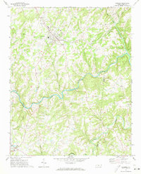
1971 · Oakboro
USGS Topo · 1:24,000
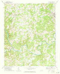
1971 · Aquadale
USGS Topo · 1:24,000
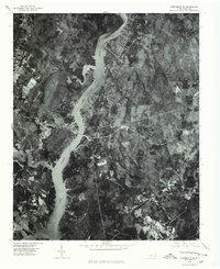
1977 · Albemarle SE
USGS Topo · 1:24,000
Featured Places
- Albemarle, NC
- Eastwood Park, Albemarle
- Cedar Village, NC
- Anderson Heights, Albemarle
- Heathwood, Albemarle