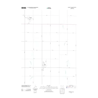
2013 Map of Albert City
USGS Topo · Published 2013About this map
Albert City and Marathon define the residential centers of this Buena Vista County landscape, captured in detail during the early 21st century. The map illustrates a strict section-line grid typical of the Iowa plains, where agriculture and hydrology are inextricably linked. Water management is a primary feature of the terrain, as seen in the channelized course of Lateral Number 2 and the winding path of Little Cedar Cr. In Marathon, the street plan is clearly delineated, including W Attica St, Athens St, and Pearl St. Further south, Albert City is anchored by Main St, with its grid extending to S 3rd St and S 4th St. This survey provides a precise record of the rural road network, showing how major thoroughfares like 210th Ave and 500th St facilitate movement across the agricultural heartland.
Find a feature on this map
34 named features on this map. Tap any name to fly to it.
Don’t see what you’re looking for? This feature index may not catch every label — zoom into the map to look around manually.
Map Details
Editions of this 2013 Albert City Map
This is the sole edition of this map. No revisions or reprints were ever made.
Other maps of this area

1954 · Fort Dodge
USGS Topo · 1:250,000

1957 · Fort Dodge
USGS Topo · 1:250,000

1958 · Fort Dodge
USGS Topo · 1:250,000

1971 · Sioux Rapids SE
USGS Topo · 1:24,000

1971 · Albert City
USGS Topo · 1:24,000

1971 · Rush Lake East
USGS Topo · 1:24,000

1971 · Rush Lake West
USGS Topo · 1:24,000

1971 · Laurens
USGS Topo · 1:24,000

1971 · Webb
USGS Topo · 1:24,000

1979 · Varina
USGS Topo · 1:24,000