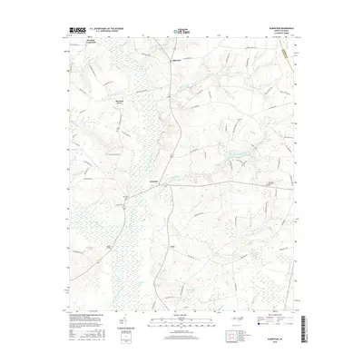
2016 Map of Albertson
USGS Topo · Published 2016About this map
Northeast Cape Fear River meanders through this portion of Duplin County, defining a landscape of low-lying swampy bottomlands and scattered rural crossroads. The settlement of Albertson serves as a central hub, surrounded by smaller community clusters such as Kornegay, Pleasant Grove, and Leon. The presence of several family-named burial sites, including Westbrook Cem, Taylor Cem, and Gradys Cem, offers significant detail for genealogical research in this coastal plain region.
Find a feature on this map
87 named features on this map. Tap any name to fly to it.
Don’t see what you’re looking for? This feature index may not catch every label — zoom into the map to look around manually.
Map Details
Editions of this 2016 Albertson Map
This is the sole edition of this map. No revisions or reprints were ever made.
Other maps of this area

1943 · Kenansville
USGS Topo · 1:62,500

1948 · Kenansville
USGS Topo · 1:62,500

1948 · Richlands
USGS Topo · 1:62,500

1953 · Rocky Mount
USGS Topo · 1:250,000

1953 · Beaufort
USGS Topo · 1:250,000

1954 · Rocky Mount
USGS Topo · 1:250,000

1954 · Beaufort
USGS Topo · 1:250,000

1957 · Seven Springs
USGS Topo · 1:62,500

1958 · Deep Run
USGS Topo · 1:62,500

1965 · Richlands
USGS Topo · 1:62,500