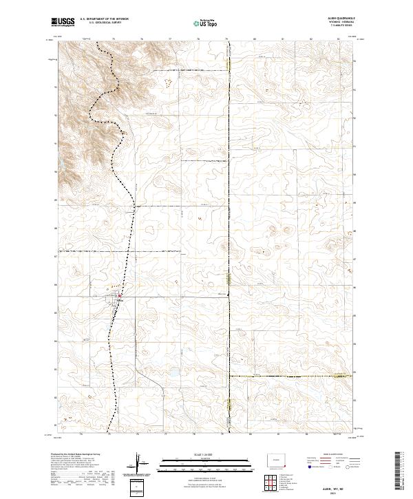
2021 Map of Albin
USGS Topo · Published 2021About this map
Albin serves as the central hub of this agricultural landscape in eastern Laramie County, Wyoming, positioned just west of the Nebraska state line. The town's grid is defined by Albin St and Cheyenne Ave, acting as a focal point for the surrounding rural sections. The township and range divisions, including t17n r60w and t18n r60w, underscore a strict rectilinear land management system characteristic of the High Plains. To the east, State Line Rd marks the boundary between Wyoming and Nebraska, where Laramie County meets Banner County and Kimball County.
Find a feature on this map
36 named features on this map. Tap any name to fly to it.
Don’t see what you’re looking for? This feature index may not catch every label — zoom into the map to look around manually.
Map Details
Editions of this 2021 Albin Map
This is the sole edition of this map. No revisions or reprints were ever made.
Other maps of this area

1898 · Scotts Bluff
USGS Topo · 1:125,000

1899 · Goshen Hole
USGS Topo · 1:125,000

1954 · Scottsbluff
USGS Topo · 1:250,000

1954 · Cheyenne
USGS Topo · 1:250,000

1958 · Cheyenne
USGS Topo · 1:250,000

1958 · Scottsbluff
USGS Topo · 1:250,000

1960 · Tremain
USGS Topo · 1:24,000

1960 · Petsch Reservoir
USGS Topo · 1:24,000

1963 · Lindbergh
USGS Topo · 1:24,000

1963 · Gurney Peak
USGS Topo · 1:24,000