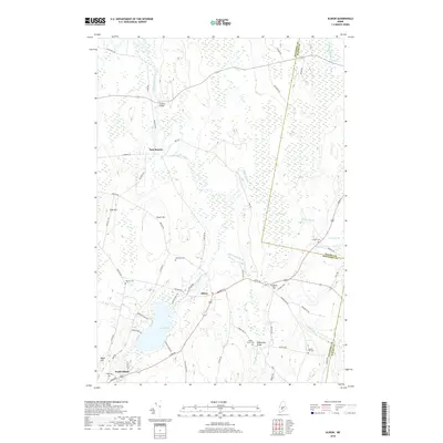
2018 Map of Albion
USGS Topo · Published 2018About this map
Fifteenmile Stream winds through a landscape of wetlands and family-named landmarks in this Kennebec County interior. The small community of East Benton and the outskirts of South Albion anchor the western and southern reaches, connected by a network of rural routes like Winslow Rd and Bessey Ridge Rd. The area is notably defined by its marshlands, including Fowler Bog and Kanokolus Bog, which contrast with the defined heights of Foss Hill and Number Four Hill.
Find a feature on this map
64 named features on this map. Tap any name to fly to it.
Don’t see what you’re looking for? This feature index may not catch every label — zoom into the map to look around manually.
Map Details
Editions of this 2018 Albion Map
This is the sole edition of this map. No revisions or reprints were ever made.
Other maps of this area

1892 · Waterville
USGS Topo · 1:62,500

1893 · Vassalboro
USGS Topo · 1:62,500

1898 · Vassalboro
USGS Topo · 1:62,500

1916 · Liberty
USGS Topo · 1:62,500

1926 · Burnham
USGS Topo · 1:62,500

1941 · Vassalboro
USGS Topo · 1:62,500

1942 · Liberty
USGS Topo · 1:62,500

1943 · Vassalboro
USGS Topo · 1:62,500

1943 · Waterville
USGS Topo · 1:62,500

1948 · Bangor
USGS Topo · 1:250,000