Loading...
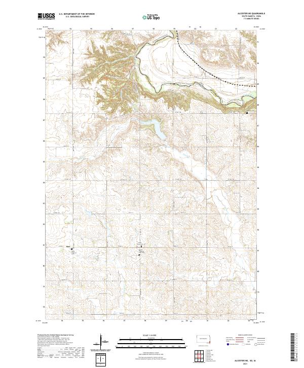
Loading map...2021 Map of Alcester NE
USGS Topo · Published 2021About this map
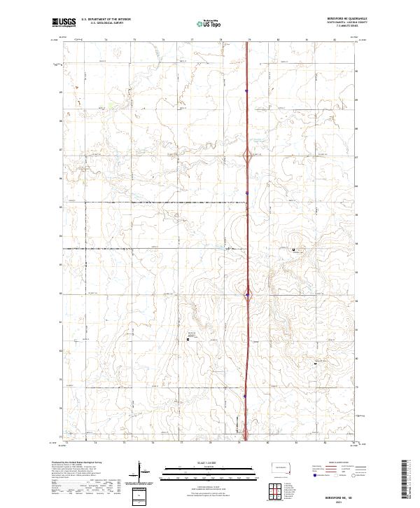
The Big Sioux River carves a winding path along the boundary between South Dakota and Iowa, defining the northeastern corner of this Lincoln County landscape. This 2021 survey reveals a deeply agricultural region patterned by a rigid grid of section roads like Arthur Ave and 280th St, punctuated by the small settlement of Moe. The area is notably dense with sites of genealogical importance, particularly concentrated around the Lutheran heritage of the region.
Find a feature on this map
45 named features on this map. Tap any name to fly to it.
Don’t see what you’re looking for? This feature index may not catch every label — zoom into the map to look around manually.
Map Details
Date Portrayed2021
Date Published2021
PublisherU.S. Geological Survey
Map TypeTopographic
Scale1:24000
Physical Dimensions24 x 29 inches
Editions of this 2021 Alcester NE Map
This is the sole edition of this map. No revisions or reprints were ever made.
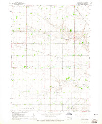
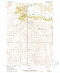
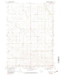
Historical Maps of Norway Township Through Time
8 maps found
Featured Locations
- Norway Township, SD
- Fairview Township, SD
- Highland Township, SD
- Settlers Township, IA
- Moe, Norway Township
Source Details
SourceU.S. Geological Survey
CopyrightPublic Domain