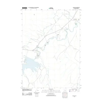
2012 Map of Alcova
USGS Topo · Published 2012About this map
Alcova sits at the northern edge of its namesake reservoir where the N Platte River exits the canyon, serving as a focal point for this Natrona County landscape. The 2012 geography highlights the complex relationship between the high desert terrain and water management, evidenced by the presence of Alcova Hot Springs and the irrigation infrastructure near Alcova Po. The map traces the river's winding path through several notable draws and gulches, including Blue Gulch and Hogback Draw, as it flows toward the ranchlands in the north.
Find a feature on this map
38 named features on this map. Tap any name to fly to it.
Don’t see what you’re looking for? This feature index may not catch every label — zoom into the map to look around manually.
Map Details
Editions of this 2012 Alcova Map
This is the sole edition of this map. No revisions or reprints were ever made.
Other maps of this area

1950 · Alcova SE
USGS Topo · 1:24,000

1950 · Alcova
USGS Topo · 1:24,000

1951 · Clarkson Hill
USGS Topo · 1:24,000

1951 · Benton Basin
USGS Topo · 1:24,000

1951 · Bessemer Mountain
USGS Topo · 1:24,000

1951 · Bear Mountain
USGS Topo · 1:24,000

1951 · Benton Basin NE
USGS Topo · 1:24,000

1951 · Bear Spring
USGS Topo · 1:24,000

1951 · Pathfinder Dam
USGS Topo · 1:24,000

1955 · Casper
USGS Topo · 1:250,000