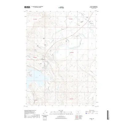
2017 Map of Alcova
USGS Topo · Published 2017About this map
Alcova Reservoir dominates this landscape in central Wyoming, serving as a focal point for both modern recreation and irrigation infrastructure. The map illustrates the complex water management system of the North Platte River basin, featuring the Casper Canal and the engineering of Tunnel Number 2. Local heritage is preserved through the marking of the Alcova Cem and the Old Alcova Cem, providing essential locations for genealogical research. The terrain is characterized by dramatic drainage patterns and named landmarks like Schrader Flats and Flat Top. Coastal access points such as Sandy Beach and Rocky Shore Rd highlight the reservoir's importance, while the presence of Alcova Hot Springs points to the unique geothermal features of the Alcova area.
Find a feature on this map
46 named features on this map. Tap any name to fly to it.
Don’t see what you’re looking for? This feature index may not catch every label — zoom into the map to look around manually.
Map Details
Editions of this 2017 Alcova Map
This is the sole edition of this map. No revisions or reprints were ever made.
Other maps of this area

1950 · Alcova SE
USGS Topo · 1:24,000

1950 · Alcova
USGS Topo · 1:24,000

1951 · Clarkson Hill
USGS Topo · 1:24,000

1951 · Benton Basin
USGS Topo · 1:24,000

1951 · Bessemer Mountain
USGS Topo · 1:24,000

1951 · Bear Mountain
USGS Topo · 1:24,000

1951 · Benton Basin NE
USGS Topo · 1:24,000

1951 · Bear Spring
USGS Topo · 1:24,000

1951 · Pathfinder Dam
USGS Topo · 1:24,000

1955 · Casper
USGS Topo · 1:250,000