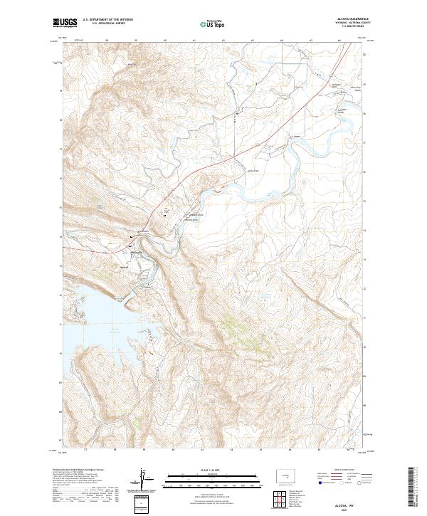
2021 Map of Alcova
USGS Topo · Published 2021About this map
Alcova and its surrounding high-desert landscape are defined by the engineering of the North Platte River, where the Alcova Reservoir dominates the terrain south of the town center. This 2021 survey shows a community deeply tied to both water management and recreation, featuring the Alcova PO and the transition from river to reservoir. The importance of local history is visible in the presence of both the Old Alcova Cem and Alcova Cem, providing clear points of interest for genealogists tracing early residents of Natrona County.
Find a feature on this map
48 named features on this map. Tap any name to fly to it.
Don’t see what you’re looking for? This feature index may not catch every label — zoom into the map to look around manually.
Map Details
Editions of this 2021 Alcova Map
This is the sole edition of this map. No revisions or reprints were ever made.
Other maps of this area

1950 · Alcova SE
USGS Topo · 1:24,000

1950 · Alcova
USGS Topo · 1:24,000

1951 · Clarkson Hill
USGS Topo · 1:24,000

1951 · Benton Basin
USGS Topo · 1:24,000

1951 · Bessemer Mountain
USGS Topo · 1:24,000

1951 · Bear Mountain
USGS Topo · 1:24,000

1951 · Benton Basin NE
USGS Topo · 1:24,000

1951 · Bear Spring
USGS Topo · 1:24,000

1951 · Pathfinder Dam
USGS Topo · 1:24,000

1955 · Casper
USGS Topo · 1:250,000