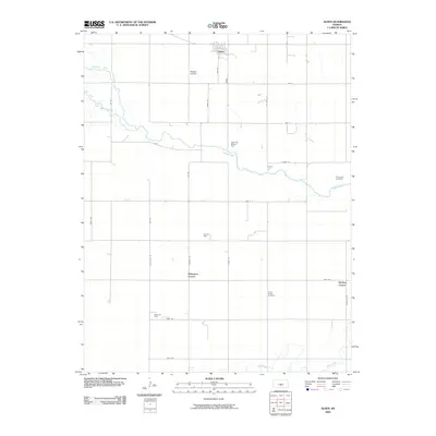
2009 Map of Alden
USGS Topo · Published 2009About this map
Alden sits at the northern edge of this Rice County landscape, serving as a primary hub within a vast agricultural and industrial grid. The terrain is defined by the winding course of the Arkansas River, which is joined by Salt Creek as it meanders eastward. This era of the landscape is heavily influenced by the regional energy economy, evidenced by several specialized zones including the Alden Gas Storage Field, Rino Oil Field, and Wisby Oil Field.
Find a feature on this map
32 named features on this map. Tap any name to fly to it.
Don’t see what you’re looking for? This feature index may not catch every label — zoom into the map to look around manually.
Map Details
Editions of this 2009 Alden Map
This is the sole edition of this map. No revisions or reprints were ever made.
Other maps of this area

1894 · Lyons
USGS Topo · 1:125,000

1955 · Great Bend
USGS Topo · 1:250,000

1957 · Great Bend
USGS Topo · 1:250,000

1958 · Great Bend
USGS Topo · 1:250,000

1966 · Sterling SW
USGS Topo · 1:24,000

1967 · Alden
USGS Topo · 1:24,000

1967 · Alden NW
USGS Topo · 1:24,000
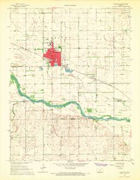
1967 · Sterling
USGS Topo · 1:24,000

1970 · Lyons
USGS Topo · 1:24,000
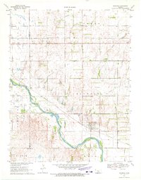
1970 · Raymond
USGS Topo · 1:24,000