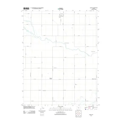
2012 Map of Alden
USGS Topo · Published 2012About this map
Alden sits near the northern bank of the Arkansas River, serving as a central point for this agricultural and energy-producing landscape in Rice County. The town is structured around several local streets such as Main St and Pioneer St, where a Po indicates its continued role as a community hub. The surrounding geography is defined by the winding paths of Salt Creek and Peace Creek, with the latter passing near the Peace Valley Cem. Subsurface resources are prominently marked across the township, including the Alden Gas Storage Field, Fritzpatrick Gas Field, and the Rino Oil Field. Historically named intersections like Kilbourns Corner and McVays Corner ground the map in local lore, reflecting a time when rural crossroads served as vital landmarks for travelers and neighbors navigating the grid of country roads.
Find a feature on this map
42 named features on this map. Tap any name to fly to it.
Don’t see what you’re looking for? This feature index may not catch every label — zoom into the map to look around manually.
Map Details
Editions of this 2012 Alden Map
This is the sole edition of this map. No revisions or reprints were ever made.
Other maps of this area

1894 · Lyons
USGS Topo · 1:125,000

1955 · Great Bend
USGS Topo · 1:250,000

1957 · Great Bend
USGS Topo · 1:250,000

1958 · Great Bend
USGS Topo · 1:250,000

1966 · Sterling SW
USGS Topo · 1:24,000

1967 · Alden
USGS Topo · 1:24,000

1967 · Alden NW
USGS Topo · 1:24,000
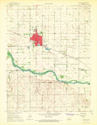
1967 · Sterling
USGS Topo · 1:24,000

1970 · Lyons
USGS Topo · 1:24,000
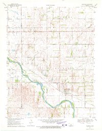
1970 · Raymond
USGS Topo · 1:24,000