
1967 Map of Alden
USGS Topo · Published 1968About this map
The Arkansas River meanders through the heart of this central Kansas landscape, defining the fertile Arkansas Valley where agricultural and industrial interests converge. In the late 1960s, the town of Alden serves as the primary hub, situated along the tracks of the Atchison Topeka and Santa Fe railroad. The map reveals an intensive history of energy extraction, dominated by the Tobias Oil Field to the north and the North Walnut Oil Field to the south, while the Alden Gas Storage Field occupies the central river corridor. These industrial footprints are balanced by markers of rural community life, such as the Peace Valley Cem, Triumph Ch, and local landmarks like Kilbourns Corner and Mevays Corner, which help genealogists and local historians pinpoint family homesteads and vanished rural intersections across the Rice and Reno county line.
Find a feature on this map
18 named features on this map. Tap any name to fly to it.
Don’t see what you’re looking for? This feature index may not catch every label — zoom into the map to look around manually.
Map Details
Editions of this 1967 Alden Map
This is the sole edition of this map. No revisions or reprints were ever made.
Other maps of this area

1894 · Lyons
USGS Topo · 1:125,000

1955 · Great Bend
USGS Topo · 1:250,000

1957 · Great Bend
USGS Topo · 1:250,000

1958 · Great Bend
USGS Topo · 1:250,000

1966 · Sterling SW
USGS Topo · 1:24,000

1967 · Alden NW
USGS Topo · 1:24,000
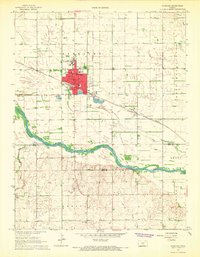
1967 · Sterling
USGS Topo · 1:24,000

1970 · Lyons
USGS Topo · 1:24,000
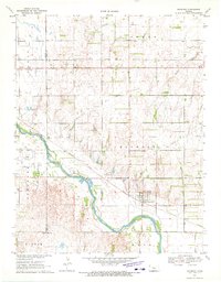
1970 · Raymond
USGS Topo · 1:24,000
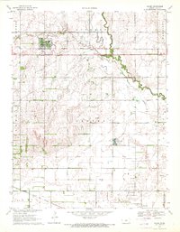
1970 · Chase
USGS Topo · 1:24,000