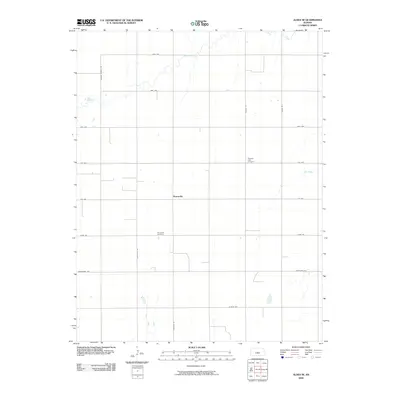
2009 Map of Alden SE
USGS Topo · Published 2009About this map
Huntsville serves as the central hub of this rural Kansas landscape, where a grid of section-line roads defines the agrarian pattern of Reno County. The community's history is anchored by the Huntsville Cemetery to the south and the Pleasant View Cemetery further north, providing valuable reference points for genealogists tracing family roots in the region. The flat terrain is subtly interrupted by the winding paths of Peace Creek in the northwest and Salt Creek in the east, which offer the only natural deviations from the strictly surveyed road network. Prominent thoroughfares like Huntsville Rd, Jordan Springs Rd, and Lerado Rd connect the scattered farmsteads, reflecting the enduring 19th-century land division system into the early 21st century.
Find a feature on this map
18 named features on this map. Tap any name to fly to it.
Don’t see what you’re looking for? This feature index may not catch every label — zoom into the map to look around manually.
Map Details
Editions of this 2009 Alden SE Map
This is the sole edition of this map. No revisions or reprints were ever made.
Other maps of this area

1892 · Kingman
USGS Topo · 1:125,000

1894 · Kingman
USGS Topo · 1:125,000

1894 · Lyons
USGS Topo · 1:125,000

1955 · Great Bend
USGS Topo · 1:250,000

1955 · Pratt
USGS Topo · 1:250,000

1957 · Great Bend
USGS Topo · 1:250,000

1958 · Great Bend
USGS Topo · 1:250,000

1959 · Pratt
USGS Topo · 1:250,000

1966 · Sterling SW
USGS Topo · 1:24,000

1967 · Alden
USGS Topo · 1:24,000