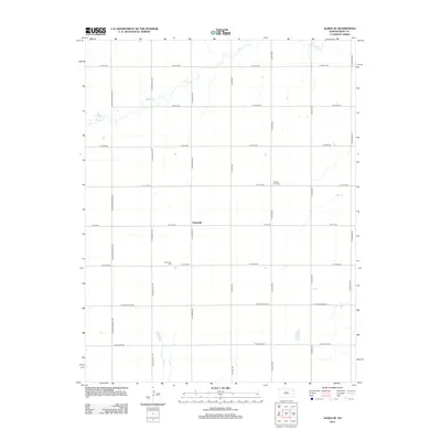
2012 Map of Alden SE
USGS Topo · Published 2012About this map
Huntsville serves as the central hub of this agricultural landscape in Reno County, where the grid of rural roads defines the organization of the terrain. The community's history is anchored by Huntsville Cem and Pleasant View Cem, providing essential points of reference for local family history and genealogical research. The natural topography is shaped by the meandering courses of Peace Cr in the north and Salt Cr to the east, which break the otherwise rigid geometry of the section lines. This 2012 survey illustrates the enduring patterns of Kansas prairie life, where small settlements like Huntsville persist alongside established cemeteries and drainage networks like Peace Cr.
Find a feature on this map
27 named features on this map. Tap any name to fly to it.
Don’t see what you’re looking for? This feature index may not catch every label — zoom into the map to look around manually.
Map Details
Editions of this 2012 Alden SE Map
This is the sole edition of this map. No revisions or reprints were ever made.
Other maps of this area

1892 · Kingman
USGS Topo · 1:125,000

1894 · Kingman
USGS Topo · 1:125,000

1894 · Lyons
USGS Topo · 1:125,000

1955 · Great Bend
USGS Topo · 1:250,000

1955 · Pratt
USGS Topo · 1:250,000

1957 · Great Bend
USGS Topo · 1:250,000

1958 · Great Bend
USGS Topo · 1:250,000

1959 · Pratt
USGS Topo · 1:250,000

1966 · Sterling SW
USGS Topo · 1:24,000

1967 · Alden
USGS Topo · 1:24,000