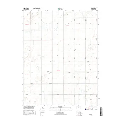
2015 Map of Alden SE
USGS Topo · Published 2015About this map
Huntsville serves as the central focal point for this Reno County landscape, where the agricultural grid is defined by a dense network of local roads including Langdon Rd and Avery Rd. The terrain is shaped by the subtle drainage of Peace Cr and Salt Cr, which meander across the township lines of t23s r9w and t22s r9w. For those researching local families and community roots, the map provides precise locations for both the Huntsville Cem and Pleasant View Cem. These sites, along with the surrounding homesteads, reflect the enduring rural settlement patterns of central Kansas during the early twenty-first century, anchored by the intersection of 4th Ave and Huntsville Rd.
Find a feature on this map
26 named features on this map. Tap any name to fly to it.
Don’t see what you’re looking for? This feature index may not catch every label — zoom into the map to look around manually.
Map Details
Editions of this 2015 Alden SE Map
This is the sole edition of this map. No revisions or reprints were ever made.
Other maps of this area

1892 · Kingman
USGS Topo · 1:125,000

1894 · Kingman
USGS Topo · 1:125,000

1894 · Lyons
USGS Topo · 1:125,000

1955 · Great Bend
USGS Topo · 1:250,000

1955 · Pratt
USGS Topo · 1:250,000

1957 · Great Bend
USGS Topo · 1:250,000

1958 · Great Bend
USGS Topo · 1:250,000

1959 · Pratt
USGS Topo · 1:250,000

1966 · Sterling SW
USGS Topo · 1:24,000

1967 · Alden
USGS Topo · 1:24,000