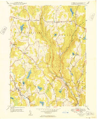
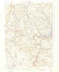
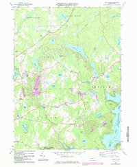
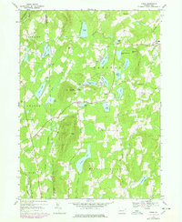
1949 Map of Aldenville
USGS Topo · Published 1949About this map
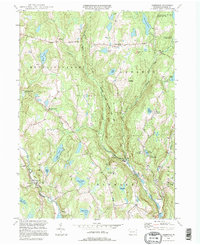
The Lackawaxen River and the branching waters of the West Branch Dyberry Creek define the geography of this part of Wayne County in the late 1940s. At the southern bend of the river, the settlement of Aldenville serves as a local hub, while smaller crossroads like Whites Valley and Red Schoolhouse Corner punctuate the landscape. The region's commitment to conservation and recreation is evident in the presence of the State Fish Hatchery near Miller Pond and Camp Towanda along the eastern ridge.
Find a feature on this map
37 named features on this map. Tap any name to fly to it.
Don’t see what you’re looking for? This feature index may not catch every label — zoom into the map to look around manually.
Map Details
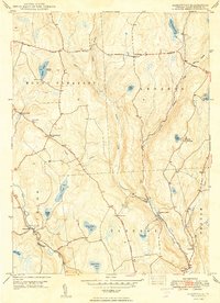
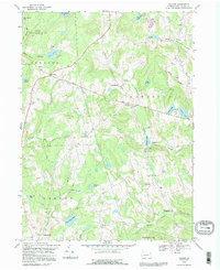
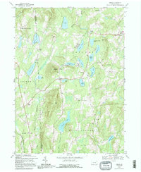
Editions of this 1949 Aldenville Map
2 editions found
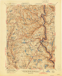
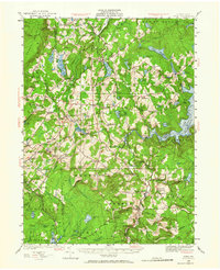
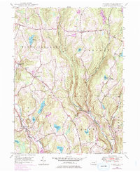
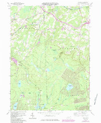
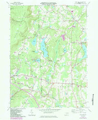
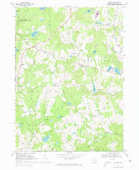
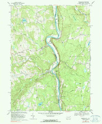
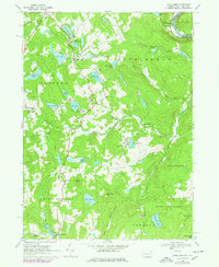
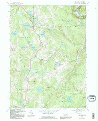
Historical Maps of Dyberry Township Through Time
31 maps found

1920 Damascus
Wayne County, PA
1923 Damascus
Wayne County, PA
1928 Ariel
Wayne County, PA
1932 Ariel
Wayne County, PA

1944 Damascus
Wayne County, PA
1946 Aldenville
Wayne County, PA
1949 Aldenville
Wayne County, PA
1965 Sterling
Wayne County, PA
1966 Lake Ariel
Wayne County, PA
1966 Lakeville
Wayne County, PA
1967 Galilee
Wayne County, PA
1968 Damascus
Wayne County, PA
1968 Lake Como
Wayne County, PA
1968 Orson
Wayne County, PA
1992 Galilee
Wayne County, PA
1992 Lake Como
Wayne County, PA
1992 Orson
Wayne County, PA

1993 Damascus
Wayne County, PA
1994 Aldenville
Wayne County, PA

1994 Lake Ariel
Wayne County, PA

1994 Lakeville
Wayne County, PA

1994 Sterling
Wayne County, PA

1997 Sterling
Wayne County, PA
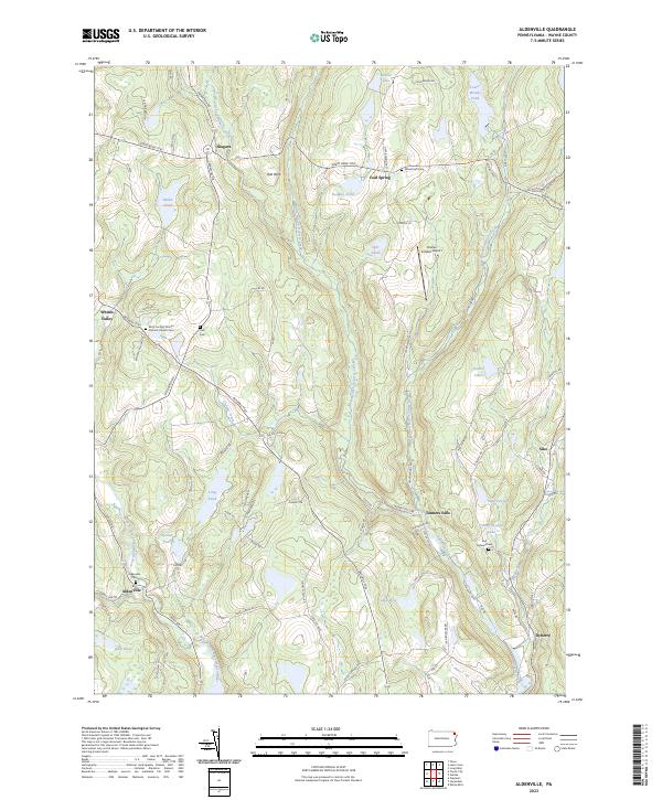
2023 Aldenville
Wayne County, PA
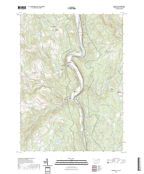
2023 Damascus
Wayne County, PA
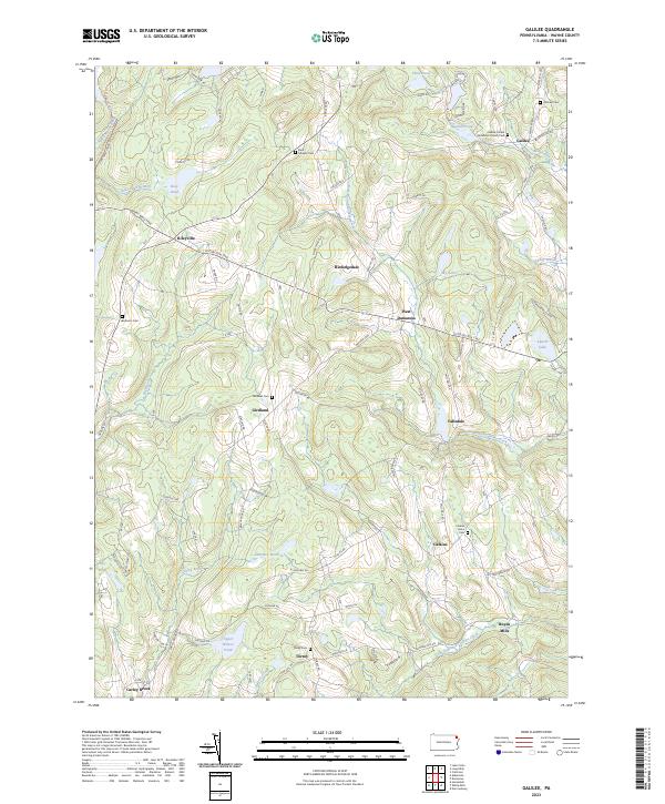
2023 Galilee
Wayne County, PA
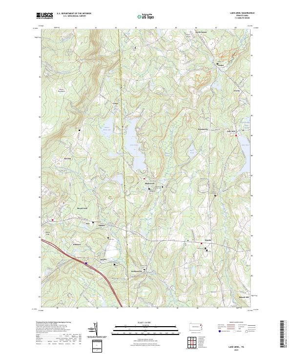
2023 Lake Ariel
Wayne County, PA
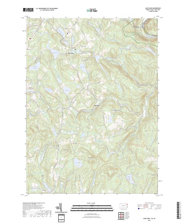
2023 Lake Como
Wayne County, PA
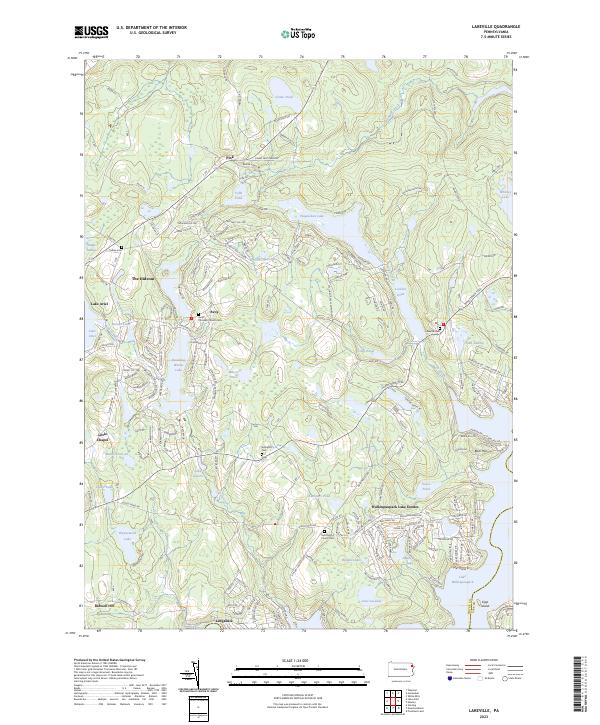
2023 Lakeville
Wayne County, PA
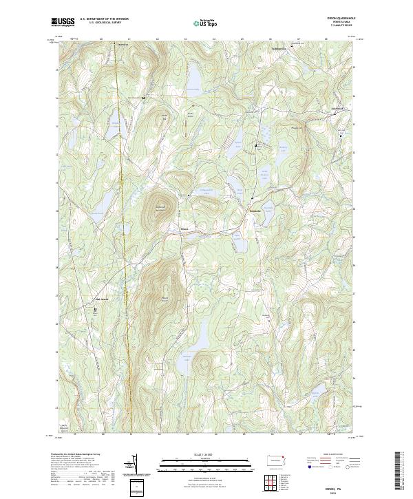
2023 Orson
Wayne County, PA
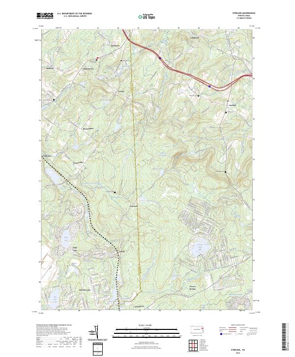
2023 Sterling
Wayne County, PA
Featured Locations
- Oregon Township, PA
- Clinton Township, PA
- Dyberry Township, PA
- Siko, Oregon Township
- Whites Valley, Mount Pleasant Township