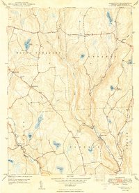
1949 Map of Aldenville
USGS Topo · Published 1949About this map
Aldenville and the surrounding townships of Mount Pleasant and Lebanon are mapped here as they appeared in the late 1940s. The landscape is defined by the headwaters of the West Branch Lackawaxen River and the various branches of Dyberry Creek, which supported local landmarks like the State Fish Hatchery and Tanners Falls. The area's history is preserved through its traditional thoroughfares, including the Old Newburgh Turnpike and Bethany Turnpike, which connected small rural settlements and school districts. Local community life is anchored by landmarks such as St Cecelia Ch and several rural schoolhouses, including Red Schoolhouse and the Pleasant Valley Sch. The presence of multiple recreational and natural water bodies, from Sunset Lake to Glass Pond No 2, reflects the transition of this Pennsylvania highland into a destination for summer camps like Camp Towanda.
Find a feature on this map
40 named features on this map. Tap any name to fly to it.
Don’t see what you’re looking for? This feature index may not catch every label — zoom into the map to look around manually.
Map Details
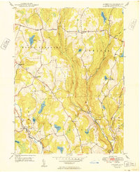
Editions of this 1949 Aldenville Map
2 editions found
Other maps of this area

1892 · Honesdale
USGS Topo · 1:62,500

1920 · Long Eddy
USGS Topo · 1:62,500

1920 · Damascus
USGS Topo · 1:62,500

1921 · Long Eddy
USGS Topo · 1:48,000

1923 · Damascus
USGS Topo · 1:62,500

1923 · Long Eddy
USGS Topo · 1:62,500

1926 · Starrucca
USGS Topo · 1:62,500

1930 · Starrucca
USGS Topo · 1:48,000

1933 · Starrucca
USGS Topo · 1:62,500

1943 · Honesdale
USGS Topo · 1:125,000