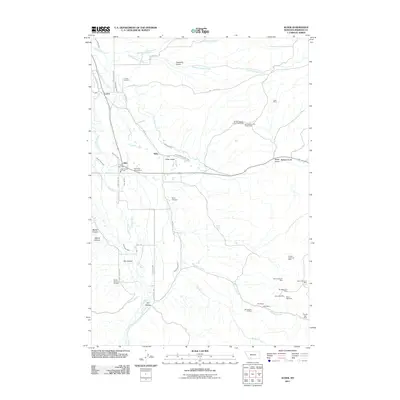
2011 Map of Alder
USGS Topo · Published 2011About this map
Ruby River defines the valley floor of this Madison County landscape, where the settlements of Laurin, Ruby, and Alder sit at the intersection of historic mining and agricultural interests. The map traces a sophisticated network of water management, including the Ruby Valley Ditch, Combs Ditch Number Two, and Phillips Ditch, illustrating how the arid terrain was reclaimed for ranching and farming. Local history is deeply embedded in the land at the Laurin Cemetery and Taylor Cemetery, which serve as permanent markers of the area's early residents.
Find a feature on this map
57 named features on this map. Tap any name to fly to it.
Don’t see what you’re looking for? This feature index may not catch every label — zoom into the map to look around manually.
Map Details
Editions of this 2011 Alder Map
This is the sole edition of this map. No revisions or reprints were ever made.
Other maps of this area

1888 · Three Forks
USGS Topo · 1:250,000

1893 · Dillon
USGS Topo · 1:250,000

1894 · Three Forks
USGS Topo · 1:250,000

1895 · Three Forks
USGS Topo · 1:250,000

1947 · Bozeman
USGS Topo · 1:250,000

1948 · Bozeman
USGS Topo · 1:250,000

1949 · Varney
USGS Topo · 1:62,500

1950 · Virginia City
USGS Topo · 1:62,500

1955 · Bozeman
USGS Topo · 1:250,000

1955 · Dillon
USGS Topo · 1:250,000