
1950 Map of Virginia City
USGS Topo · Published 1954About this map
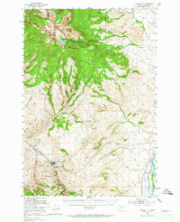
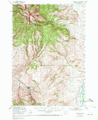
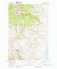
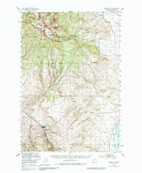
The gold mining legacy of the Tobacco Root Mountains is etched into the landscape of this 1950s survey. Centered on Virginia City, the map documents a dense concentration of mineral claims south of the townsite along Alder Gulch. Named operations such as the Nine Grant Mines, Cornucopia Mine, and El Fleeta Mine indicate the intense industrial activity that defined this region's development.
Find a feature on this map
72 named features on this map. Tap any name to fly to it.
Don’t see what you’re looking for? This feature index may not catch every label — zoom into the map to look around manually.
Map Details
Editions of this 1950 Virginia City Map
5 editions found
Other maps of this area

1888 · Three Forks
USGS Topo · 1:250,000

1893 · Dillon
USGS Topo · 1:250,000

1894 · Three Forks
USGS Topo · 1:250,000

1895 · Three Forks
USGS Topo · 1:250,000

1947 · Bozeman
USGS Topo · 1:250,000

1948 · Bozeman
USGS Topo · 1:250,000

1949 · Varney
USGS Topo · 1:62,500

1949 · Ennis
USGS Topo · 1:62,500

1949 · Norris
USGS Topo · 1:62,500

1950 · Cameron
USGS Topo · 1:62,500