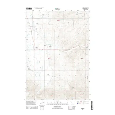
2014 Map of Alder
USGS Topo · Published 2014About this map
The Ruby River corridor in Madison County defines this landscape of sophisticated irrigation and mountain drainage. Small settlements like Laurin, Alder, and Ruby are connected by a network of historic ditches and canals, including the Ruby Valley Ditch, Combs Ditch Number Two, and the W Bench Canal. This infrastructure reflects the region's agricultural and mining legacy, particularly around Alder Gulch and McNeal Gulch. The map identifies significant genealogical markers such as the Laurin Cem and Taylor Cem, alongside family-named landmarks like Peterson Ln and Salmonsen Ln. The terrain transitions from the broad Ruby Valley to the steep elevations of Beatch Canyon and Wilcox Canyon, illustrating the complex water management required to move resources from high-altitude creeks like Quaking Aspen Cr to the valley floor.
Find a feature on this map
59 named features on this map. Tap any name to fly to it.
Don’t see what you’re looking for? This feature index may not catch every label — zoom into the map to look around manually.
Map Details
Editions of this 2014 Alder Map
This is the sole edition of this map. No revisions or reprints were ever made.
Other maps of this area

1888 · Three Forks
USGS Topo · 1:250,000

1893 · Dillon
USGS Topo · 1:250,000

1894 · Three Forks
USGS Topo · 1:250,000

1895 · Three Forks
USGS Topo · 1:250,000

1947 · Bozeman
USGS Topo · 1:250,000

1948 · Bozeman
USGS Topo · 1:250,000

1949 · Varney
USGS Topo · 1:62,500

1950 · Virginia City
USGS Topo · 1:62,500

1955 · Bozeman
USGS Topo · 1:250,000

1955 · Dillon
USGS Topo · 1:250,000