
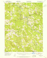
1949 Map of Alderpoint
USGS Topo · Published 1955About this map
The Eel River and its major tributary, Dobbyn Creek, define the topography of this Northern California landscape during the late 1940s. The Northwestern Pacific railroad follows the river's winding course, serving the riverside communities of Fort Seward and Alderpoint. This era shows a region balanced between the timber industry and large-scale ranching, with the Blocksburg Ranger Sta and a Lumber Mill near Harris indicating the local economic drivers.
Find a feature on this map
60 named features on this map. Tap any name to fly to it.
Don’t see what you’re looking for? This feature index may not catch every label — zoom into the map to look around manually.
Map Details
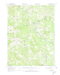
Editions of this 1949 Alderpoint Map
3 editions found
Other maps of this area

1918 · Anada
USGS Topo · 1:62,500

1920 · Cummings
USGS Topo · 1:62,500

1920 · Covelo
USGS Topo · 1:62,500

1920 · Harris
USGS Topo · 1:62,500

1921 · Dyerville
USGS Topo · 1:62,500

1921 · Briceland
USGS Topo · 1:62,500

1921 · Hoaglin
USGS Topo · 1:62,500

1922 · Island Mountain
USGS Topo · 1:62,500

1931 · Hoaglin
USGS Topo · 1:96,000

1935 · Hoaglin
USGS Topo · 1:125,000