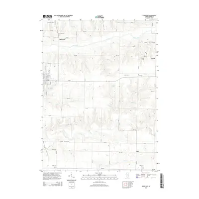
2015 Map of Aledo East
USGS Topo · Published 2015About this map
The Edwards River meanders across this rural Mercer County landscape, framing a transition from the structured street grid of Aledo to the surrounding agricultural prairie. To the east, the small communities of Shale City, Wanlock, and Old Gilehrist sit near the river's edge, while the southern reaches of the map are defined by the winding paths of Pope Cr and Maids Run. For those researching local families, the area is dotted with small burial grounds, including the Artz Cem, McPherren Cem, and Carnahan Cem. The presence of the Mercer County Airport in the northwest and the clustering of settlements like Sugar Grove reflect the ongoing balance between rural heritage and infrastructure in this part of Illinois.
Find a feature on this map
49 named features on this map. Tap any name to fly to it.
Don’t see what you’re looking for? This feature index may not catch every label — zoom into the map to look around manually.
Map Details
Editions of this 2015 Aledo East Map
This is the sole edition of this map. No revisions or reprints were ever made.
Other maps of this area

1912 · Milan
USGS Topo · 1:62,500

1916 · Edgington
USGS Topo · 1:62,500

1923 · Alexis
USGS Topo · 1:62,500

1925 · Alexis
USGS Topo · 1:62,500

1935 · Keithsburg
USGS Topo · 1:48,000

1938 · Edgington
USGS Topo · 1:62,500

1941 · Keithsburg
USGS Topo · 1:62,500

1944 · Milan
USGS Topo · 1:62,500

1953 · Viola
USGS Topo · 1:24,000
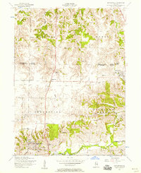
1953 · Matherville
USGS Topo · 1:24,000