
2024 Map of Aledo East
USGS Topo · Published 2024About this map
The county seat of Aledo anchors the western edge of this Mercer County landscape, where the Illinois prairie is deeply etched by the winding course of the Edwards River and Pope Creek. The map documents a rural network of small communities and crossroads such as Shale City, Wanlock, and Sunbeam, connected by a grid of agricultural section roads. This survey is particularly valuable for genealogists, as it identifies numerous family and community burial grounds scattered across the countryside, including the Sugar Grove Cem, Artz Cem, and Mcclure Cem. The infrastructure of the area is further defined by the Mercer County Airport and a series of smaller water features like Swearingen Lake and Delliit Lake, reflecting a landscape managed for both utility and drainage in the rich agricultural heartland.
Find a feature on this map
70 named features on this map. Tap any name to fly to it.
Don’t see what you’re looking for? This feature index may not catch every label — zoom into the map to look around manually.
Map Details
Editions of this 2024 Aledo East Map
This is the sole edition of this map. No revisions or reprints were ever made.
Historical Maps of Old Gilchrist Through Time
12 maps found
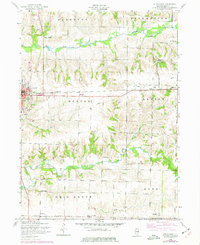
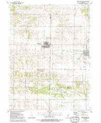
1953 Aledo East
Mercer County, IL
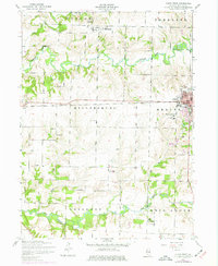
1953 Aledo West
Mercer County, IL
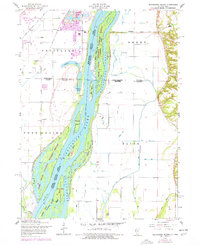
1953 Blanchard Island
Mercer County, IL
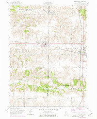
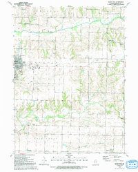
1953 New Windsor
Mercer County, IL
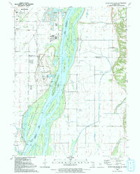
1991 Blanchard Island
Mercer County, IL
1991 New Windsor
Mercer County, IL
1992 Aledo East
Mercer County, IL
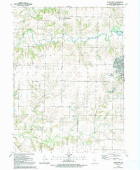
1992 Aledo West
Mercer County, IL
2024 Aledo East
Mercer County, IL
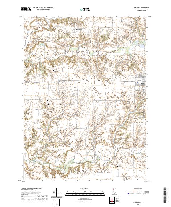
2024 Aledo West
Mercer County, IL
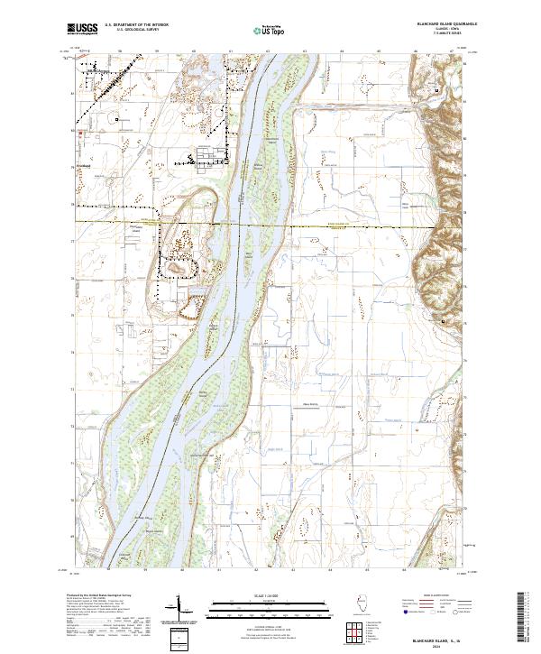
2024 Blanchard Island
Mercer County, IL
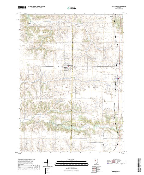
2024 New Windsor
Mercer County, IL