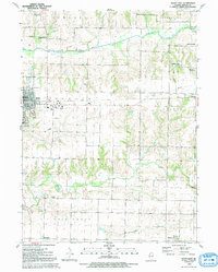
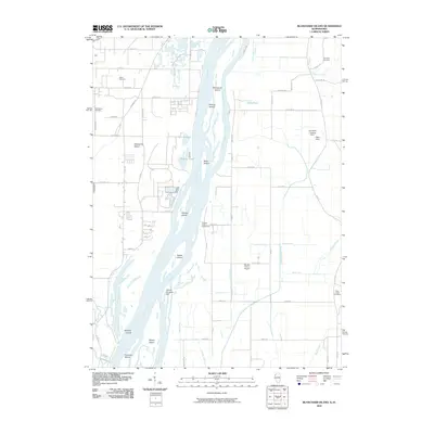
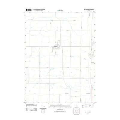
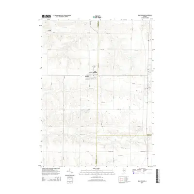
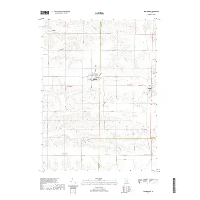
1992 Map of Aledo East
USGS Topo · Published 1992About this map
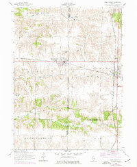
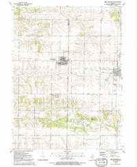
Aledo serves as the focal point of this Mercer County landscape, where the eastern edge of the city reveals its civic and social heart through landmarks like the BM 737 Courthouse and First Baptist Ch. The area is defined by a transition from organized town streets to a rural countryside carved by the Edwards River and Pope Creek. Small, isolated settlements like Shale City, Wanlock, and Sunbeam reflect the agricultural and industrial distribution of the late twentieth century, connected by remnants of local transit like the Old Railroad Grade.
Find a feature on this map
33 named features on this map. Tap any name to fly to it.
Don’t see what you’re looking for? This feature index may not catch every label — zoom into the map to look around manually.
Map Details
Editions of this 1992 Aledo East Map
This is the sole edition of this map. No revisions or reprints were ever made.
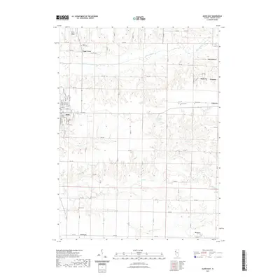
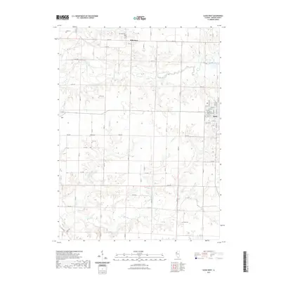
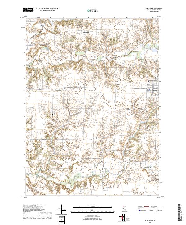
Historical Maps of Aledo Through Time
29 maps found
1953 Aledo East
Mercer County, IL
1953 Aledo West
Mercer County, IL
1953 Blanchard Island
Mercer County, IL
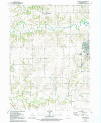
1953 New Windsor
Mercer County, IL
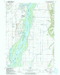
1991 Blanchard Island
Mercer County, IL
1991 New Windsor
Mercer County, IL
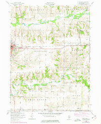
1992 Aledo East
Mercer County, IL
1992 Aledo West
Mercer County, IL
2010 Blanchard Island
Mercer County, IL
2012 Aledo East
Mercer County, IL
2012 Aledo West
Mercer County, IL
2012 Blanchard Island
Mercer County, IL
2012 New Windsor
Mercer County, IL
2015 Aledo East
Mercer County, IL
2015 Aledo West
Mercer County, IL
2015 Blanchard Island
Mercer County, IL
2015 New Windsor
Mercer County, IL
2018 Aledo East
Mercer County, IL
2018 Aledo West
Mercer County, IL
2018 Blanchard Island
Mercer County, IL
2018 New Windsor
Mercer County, IL
2021 Aledo East
Mercer County, IL
2021 Aledo West
Mercer County, IL

2021 Blanchard Island
Mercer County, IL

2021 New Windsor
Mercer County, IL

2024 Aledo East
Mercer County, IL
2024 Aledo West
Mercer County, IL
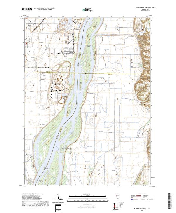
2024 Blanchard Island
Mercer County, IL
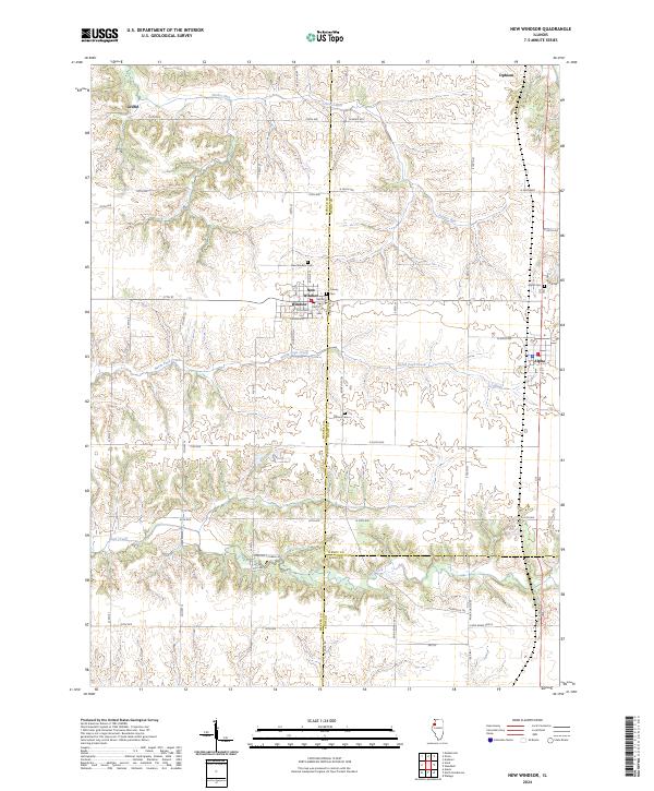
2024 New Windsor
Mercer County, IL