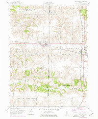
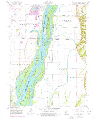
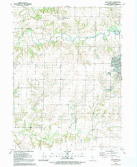
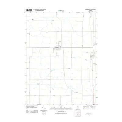
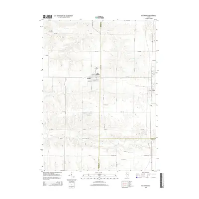
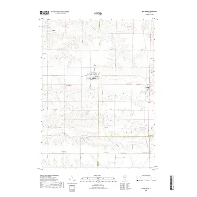
1953 Map of New Windsor
USGS Topo · Published 1977About this map
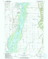
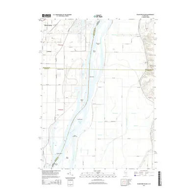
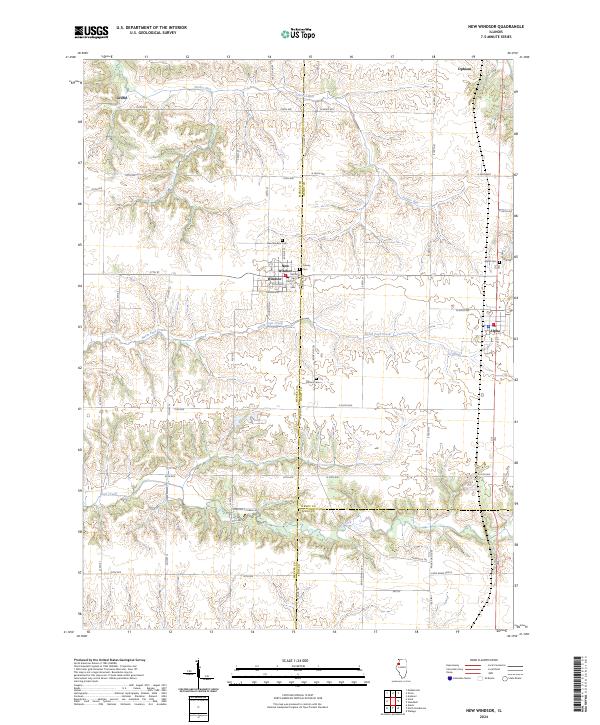
New Windsor and Alpha serve as the primary hubs of activity in this 1950s Illinois landscape, which was later updated with 1970s revisions. The region is defined by the east-west corridor of the Chicago Burlington and Quincy railroad, which historically drove the local economy. Agriculture and industry meet south of Alpha, where the Alpha Coal Mine is noted as abandoned, indicating a shift in the local extractive economy.
Find a feature on this map
24 named features on this map. Tap any name to fly to it.
Don’t see what you’re looking for? This feature index may not catch every label — zoom into the map to look around manually.
Map Details
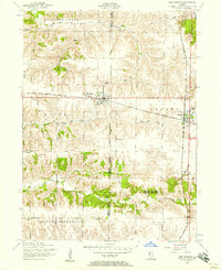
Editions of this 1953 New Windsor Map
2 editions found
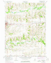
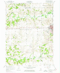
Historical Maps of Alpha Through Time
29 maps found
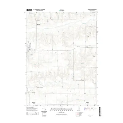
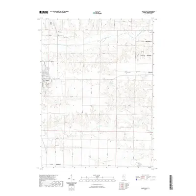
1953 Aledo East
Mercer County, IL
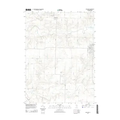
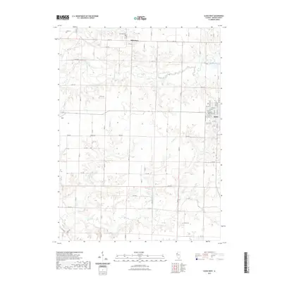
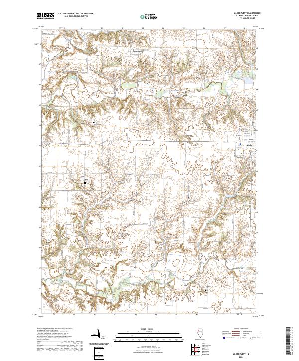
1953 Aledo West
Mercer County, IL
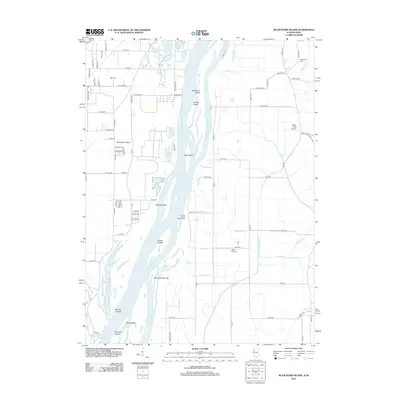
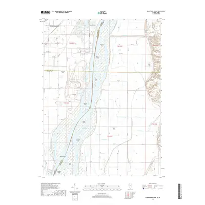
1953 Blanchard Island
Mercer County, IL
1953 New Windsor
Mercer County, IL
1991 Blanchard Island
Mercer County, IL
1991 New Windsor
Mercer County, IL
1992 Aledo East
Mercer County, IL
1992 Aledo West
Mercer County, IL
2010 Blanchard Island
Mercer County, IL
2012 Aledo East
Mercer County, IL
2012 Aledo West
Mercer County, IL
2012 Blanchard Island
Mercer County, IL
2012 New Windsor
Mercer County, IL
2015 Aledo East
Mercer County, IL
2015 Aledo West
Mercer County, IL
2015 Blanchard Island
Mercer County, IL
2015 New Windsor
Mercer County, IL
2018 Aledo East
Mercer County, IL
2018 Aledo West
Mercer County, IL
2018 Blanchard Island
Mercer County, IL
2018 New Windsor
Mercer County, IL
2021 Aledo East
Mercer County, IL
2021 Aledo West
Mercer County, IL

2021 Blanchard Island
Mercer County, IL

2021 New Windsor
Mercer County, IL

2024 Aledo East
Mercer County, IL
2024 Aledo West
Mercer County, IL
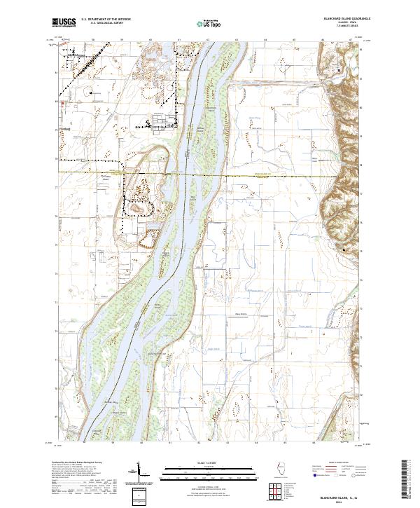
2024 Blanchard Island
Mercer County, IL
2024 New Windsor
Mercer County, IL