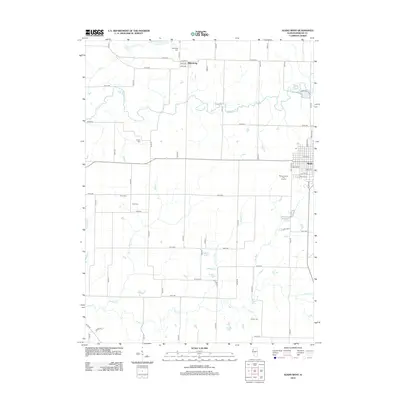
2012 Map of Aledo West
USGS Topo · Published 2012About this map
Mercer County Fair Ground sits on the western edge of Aledo, marking the transition from the town's street grid to the agricultural expanse of Mercer County. This 2012 survey reveals a landscape deeply carved by drainage systems, where the Edwards River and Pope Cr define the northern and southern reaches. The settlement of Millersburg remains a focal point in the north, situated along Co Hwy-13. Genealogy and local history researchers will find a significant distribution of rural burial sites, including Oak Ridge Cem, Brick Cem, and Candor Cem, which often represent early pioneer families. The presence of Army Ford on the Edwards River suggests a historically important river crossing point, while smaller waterways like Wildcat Cr and Pike Run crisscross the productive prairie land between established road intervals.
Find a feature on this map
63 named features on this map. Tap any name to fly to it.
Don’t see what you’re looking for? This feature index may not catch every label — zoom into the map to look around manually.
Map Details
Editions of this 2012 Aledo West Map
This is the sole edition of this map. No revisions or reprints were ever made.
Other maps of this area

1912 · Milan
USGS Topo · 1:62,500

1916 · Edgington
USGS Topo · 1:62,500

1923 · Alexis
USGS Topo · 1:62,500

1925 · Alexis
USGS Topo · 1:62,500

1935 · Keithsburg
USGS Topo · 1:48,000

1938 · Edgington
USGS Topo · 1:62,500

1941 · Keithsburg
USGS Topo · 1:62,500

1944 · Milan
USGS Topo · 1:62,500

1953 · Buffalo Prairie
USGS Topo · 1:24,000
1953 · Aledo East
USGS Topo · 1:24,000