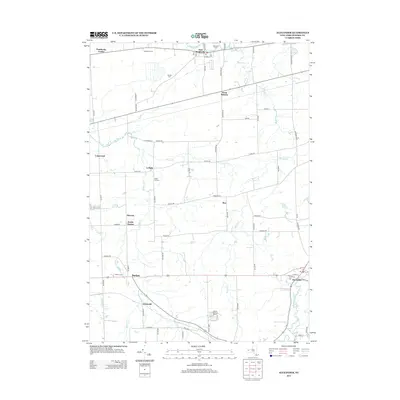
2013 Map of Alexander
USGS Topo · Published 2013About this map
The Tonawanda Cr meanders across the northern portion of this Genesee County landscape, anchoring the settlement at East Pembroke. This 2013 survey illustrates the agricultural and rural residential character of the region, where family lands like Northland Farm and Atherton Farms stand alongside historic crossroads. The map traces the routes connecting several small communities, including West Batavia, Sawens, and the village of Alexander in the southeast corner. Researchers can identify multiple burial grounds that serve these communities, such as Hillside Cem and Darien Cem. The presence of Skyline Camping Resort and the Maple Hill Cem further south reveals the land-use patterns of the early 21st century, blending recreation with long-standing rural hamlets like Griswold and Ray.
Find a feature on this map
73 named features on this map. Tap any name to fly to it.
Don’t see what you’re looking for? This feature index may not catch every label — zoom into the map to look around manually.
Map Details
Editions of this 2013 Alexander Map
This is the sole edition of this map. No revisions or reprints were ever made.
Other maps of this area

1897 · Albion
USGS Topo · 1:62,500

1897 · Medina
USGS Topo · 1:62,500

1904 · Batavia
USGS Topo · 1:62,500

1905 · Attica
USGS Topo · 1:62,500

1944 · Alexander
USGS Topo · 1:31,680

1949 · Attica
USGS Topo · 1:62,500

1949 · Alexander
USGS Topo · 1:24,000
1949 · Akron
USGS Topo · 1:24,000

1949 · Cowlesville
USGS Topo · 1:24,000
1949 · Attica
USGS Topo · 1:24,000