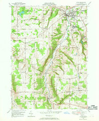
1949 Map of Attica
USGS Topo · Published 1969About this map
Tonawanda Creek carves a central path through this Wyoming County landscape, where the village of Attica serves as a major hub for the Erie RR and the Attica and Arcade RR. The map detail highlights the substantial footprint of the Attica State Prison and the nearby County Home, anchoring the local infrastructure alongside several rural school districts such as School No 16 and School No 15.
Find a feature on this map
72 named features on this map. Tap any name to fly to it.
Don’t see what you’re looking for? This feature index may not catch every label — zoom into the map to look around manually.
Map Details
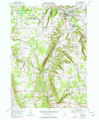
Editions of this 1949 Attica Map
2 editions found
Other maps of this area

1904 · Batavia
USGS Topo · 1:62,500

1905 · Attica
USGS Topo · 1:62,500

1905 · Portage
USGS Topo · 1:62,500

1923 · Arcade
USGS Topo · 1:62,500

1925 · Arcade
USGS Topo · 1:62,500

1943 · Warsaw
USGS Topo · 1:24,000

1944 · Alexander
USGS Topo · 1:31,680

1944 · Warsaw
USGS Topo · 1:31,680

1949 · Attica
USGS Topo · 1:62,500

1949 · Alexander
USGS Topo · 1:24,000