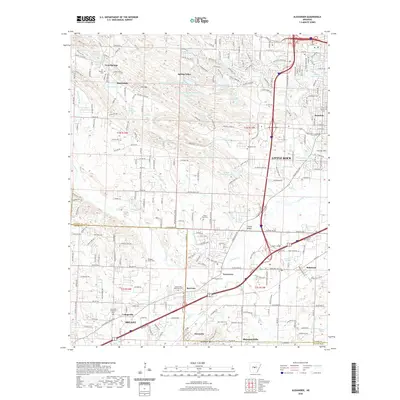
2020 Map of Alexander
USGS Topo · Published 2020About this map
Little Rock and its southwestern suburbs define the character of this modern 2020 landscape, where the urban sprawl of Mabelvale and Shannon Hills meets the rising terrain of the foothills. The map reveals a dense network of residential growth integrated with large memorial sites like Pinecrest Memorial Park and Forest Hills Memorial Park. In the northern half, the elevation increases toward Ellis Mtn and Fourche Mtn, creating a natural border for developments like Spring Valley.
Find a feature on this map
250 named features on this map. Tap any name to fly to it.
Don’t see what you’re looking for? This feature index may not catch every label — zoom into the map to look around manually.
Map Details
Editions of this 2020 Alexander Map
This is the sole edition of this map. No revisions or reprints were ever made.
Other maps of this area
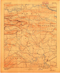
1890 · Benton
USGS Topo · 1:125,000

1891 · Little Rock
USGS Topo · 1:125,000

1893 · Little Rock
USGS Topo · 1:125,000
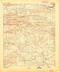
1894 · Benton
USGS Topo · 1:125,000
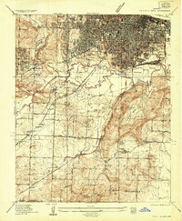
1935 · Little Rock
USGS Topo · 1:24,000
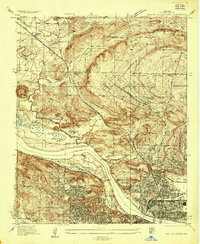
1935 · North Little Rock
USGS Topo · 1:24,000
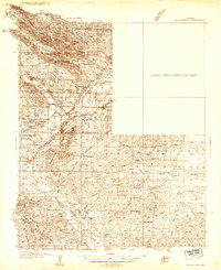
1935 · Alexander
USGS Topo · 1:48,000
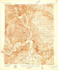
1938 · Benton
USGS Topo · 1:48,000
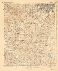
1941 · Alexander
USGS Topo · 1:62,500
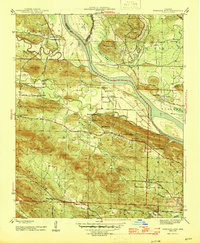
1943 · Pinnacle Mtn
USGS Topo · 1:31,680