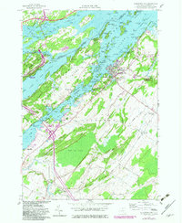
1958 Map of Alexandria Bay
USGS Topo · Published 1982About this map
The St Lawrence River defines this riverfront landscape, where the Thousand Islands create a complex geography of narrow channels and island estates. On Heart I, the iconic Boldt Castle stands as a centerpiece of the region's resort era, surrounded by numerous named islands like Deer Island and Club Island. The village of Alexandria Bay serves as the primary hub on the mainland, supported by outlying settlements such as Alexandria Center and Omar to the south.
Find a feature on this map
124 named features on this map. Tap any name to fly to it.
Don’t see what you’re looking for? This feature index may not catch every label — zoom into the map to look around manually.
Map Details
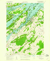
Editions of this 1958 Alexandria Bay Map
2 editions found
Other maps of this area

1900 · Clayton
USGS Topo · 1:62,500

1903 · Grindstone
USGS Topo · 1:62,500

1903 · Clayton
USGS Topo · 1:62,500

1903 · Alexandria Bay
USGS Topo · 1:62,500

1903 · Theresa
USGS Topo · 1:62,500

1942 · Clayton
USGS Topo · 1:24,000

1943 · Thousand Island Park
USGS Topo · 1:31,680

1943 · Redwood
USGS Topo · 1:31,680

1943 · Clayton
USGS Topo · 1:31,680

1943 · Lafargeville
USGS Topo · 1:31,680