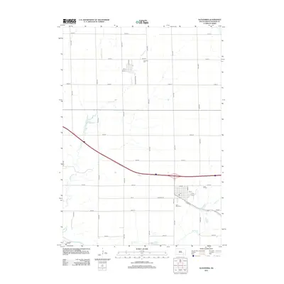
2012 Map of Alexandria
USGS Topo · Published 2012About this map
Rosedale Colony and the agricultural lands of eastern South Dakota define this 2012 landscape, where the James River flows through the southwestern corner. The city of Alexandria serves as a focal point, organized around a traditional grid with streets such as N Main Ave and Broad St. Local heritage is preserved in several dedicated spaces, including Saint Marys Cem and Green Hill Cem, located near the town center, while Graceland Cem is situated further north.
Find a feature on this map
37 named features on this map. Tap any name to fly to it.
Don’t see what you’re looking for? This feature index may not catch every label — zoom into the map to look around manually.
Map Details
Editions of this 2012 Alexandria Map
This is the sole edition of this map. No revisions or reprints were ever made.
Other maps of this area

1899 · Alexandria
USGS Topo · 1:125,000

1955 · Sioux Falls
USGS Topo · 1:250,000

1957 · Alexandria
USGS Topo · 1:24,000

1957 · Ethan
USGS Topo · 1:24,000

1957 · Rockport Colony
USGS Topo · 1:24,000

1957 · Riverside
USGS Topo · 1:24,000

1957 · Farwell
USGS Topo · 1:24,000

1958 · Sioux Falls
USGS Topo · 1:250,000

1973 · Spencer SW
USGS Topo · 1:24,000

1973 · Ness Chain Lakes
USGS Topo · 1:24,000