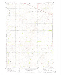
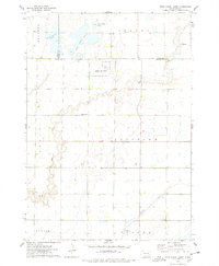
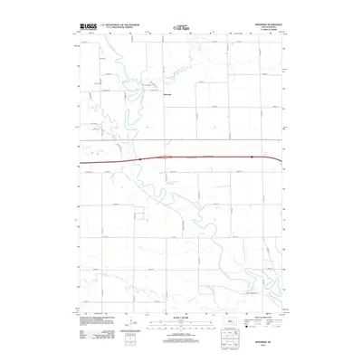
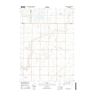
1973 Map of Spencer SW
USGS Topo · Published 1978About this map
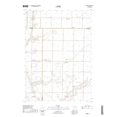
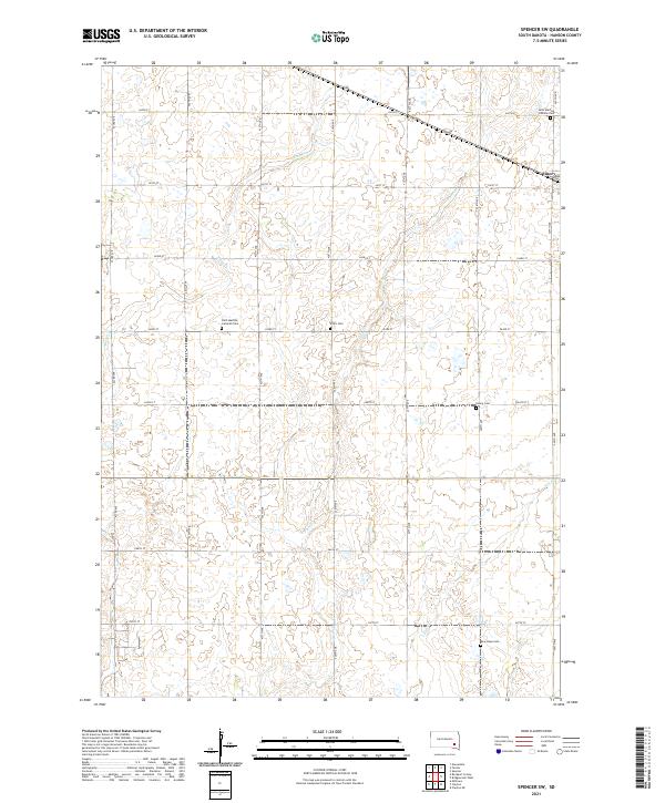
The town of Emery serves as the primary hub of activity in this section of Hanson County, situated along the Chicago Milwaukee St Paul and Pacific railroad line. The map details a landscape defined by its rural townships, including Wayne, Pleasant, Beulah, and Taylor, where agriculture and resource extraction are evident. The drainage patterns of the prairie are marked by Bloom Creek, Plum Creek, and Elm Creek, which wind through the township boundaries.
Find a feature on this map
18 named features on this map. Tap any name to fly to it.
Don’t see what you’re looking for? This feature index may not catch every label — zoom into the map to look around manually.
Map Details
Editions of this 1973 Spencer SW Map
This is the sole edition of this map. No revisions or reprints were ever made.
Historical Maps of Emery Through Time
25 maps found
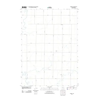
1957 Farwell
Hanson County, SD
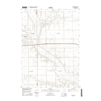
1957 Riverside
Hanson County, SD
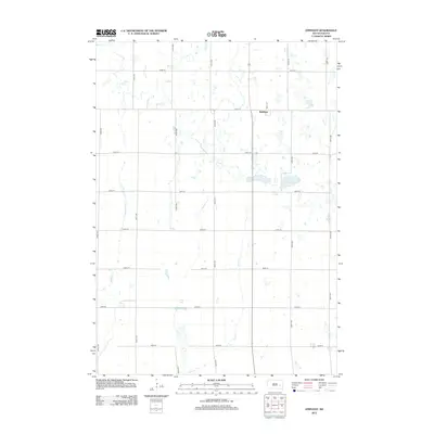
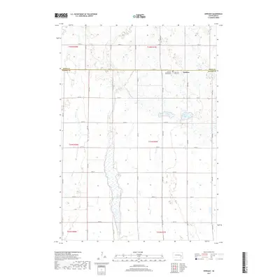
1973 Epiphany
Hanson County, SD
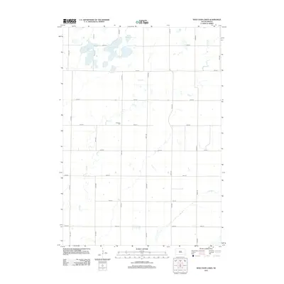
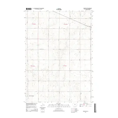
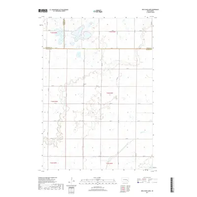
1973 Ness Chain Lakes
Hanson County, SD
1973 Spencer SW
Hanson County, SD
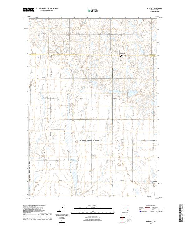
2012 Epiphany
Hanson County, SD
2012 Farwell
Hanson County, SD
2012 Ness Chain Lakes
Hanson County, SD
2012 Riverside
Hanson County, SD
2012 Spencer SW
Hanson County, SD
2015 Epiphany
Hanson County, SD
2015 Farwell
Hanson County, SD
2015 Ness Chain Lakes
Hanson County, SD
2015 Riverside
Hanson County, SD
2015 Spencer SW
Hanson County, SD
2017 Epiphany
Hanson County, SD
2017 Farwell
Hanson County, SD
2017 Ness Chain Lakes
Hanson County, SD
2017 Riverside
Hanson County, SD
2017 Spencer SW
Hanson County, SD
2021 Epiphany
Hanson County, SD
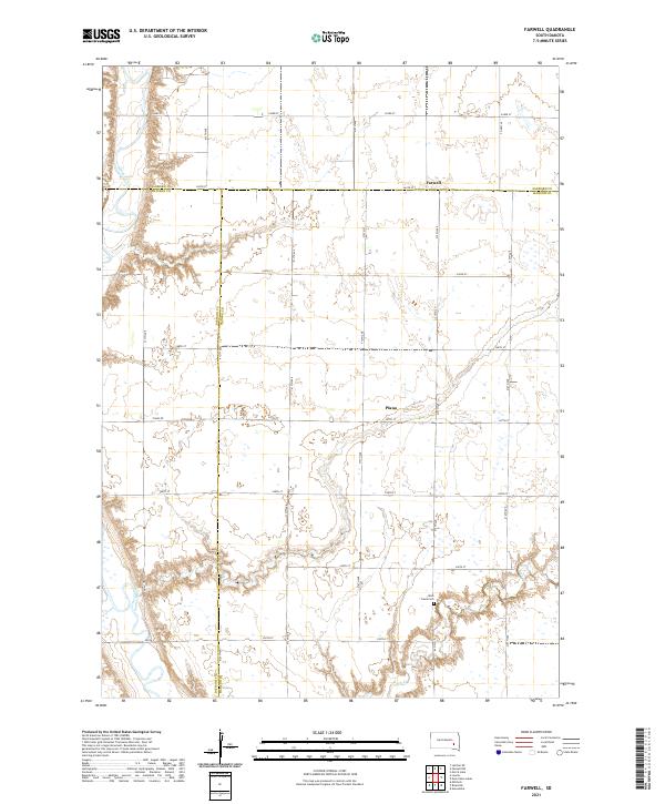
2021 Farwell
Hanson County, SD
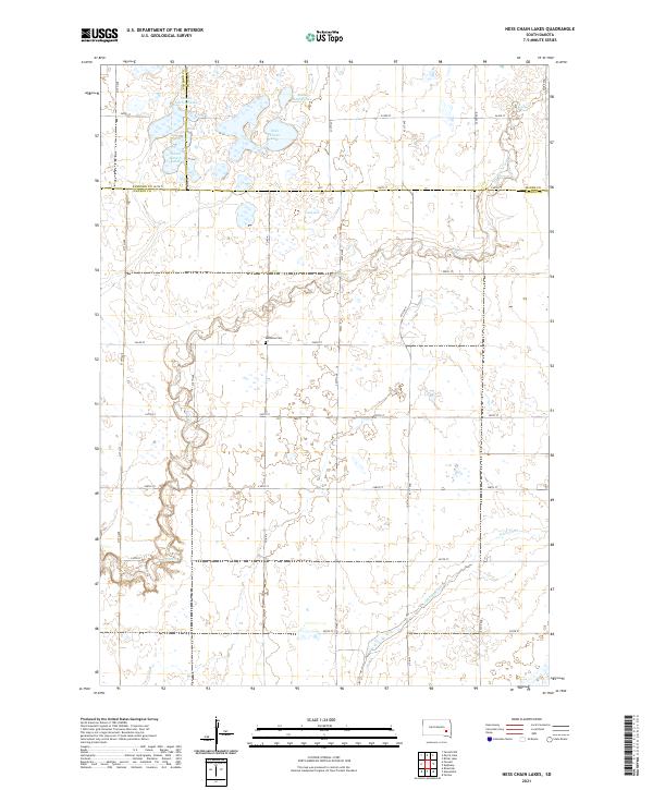
2021 Ness Chain Lakes
Hanson County, SD
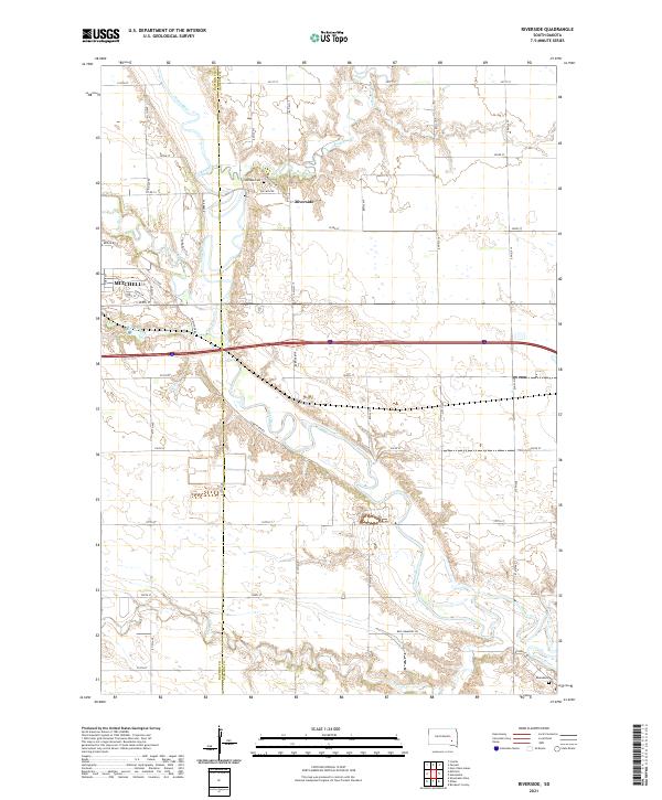
2021 Riverside
Hanson County, SD
2021 Spencer SW
Hanson County, SD
Featured Locations
- Pleasant Township, SD
- Taylor Township, SD
- Wayne Township, SD
- Beulah Township, SD
- Emery, Pleasant Township