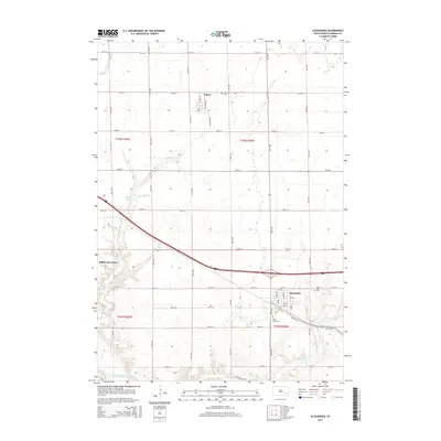
2015 Map of Alexandria
USGS Topo · Published 2015About this map
The James River snakes across the southwestern corner of this Hanson County landscape, providing a natural contrast to the rigid section lines of the Public Land Survey System. The town of Alexandria serves as a local hub, situated near the intersection of the regional road network and Pierre Cr. To the northwest, the smaller settlement of Fulton sits adjacent to Graceland Cem, while the communal layout of Millbrook Colony is visible further west along the banks of the river. The terrain is defined by a series of north-south avenues and east-west streets, such as 251st ST and 422nd Ave, which organize the agricultural periphery. Significant local landmarks include Fulton Lake and several historical burial grounds, including Saint Marys Cem and Green Hill Cem, which offer points of interest for those tracing family lineages in the region.
Find a feature on this map
44 named features on this map. Tap any name to fly to it.
Don’t see what you’re looking for? This feature index may not catch every label — zoom into the map to look around manually.
Map Details
Editions of this 2015 Alexandria Map
This is the sole edition of this map. No revisions or reprints were ever made.
Other maps of this area

1899 · Alexandria
USGS Topo · 1:125,000

1955 · Sioux Falls
USGS Topo · 1:250,000

1957 · Alexandria
USGS Topo · 1:24,000

1957 · Ethan
USGS Topo · 1:24,000

1957 · Rockport Colony
USGS Topo · 1:24,000

1957 · Riverside
USGS Topo · 1:24,000

1957 · Farwell
USGS Topo · 1:24,000

1958 · Sioux Falls
USGS Topo · 1:250,000

1973 · Spencer SW
USGS Topo · 1:24,000

1973 · Ness Chain Lakes
USGS Topo · 1:24,000