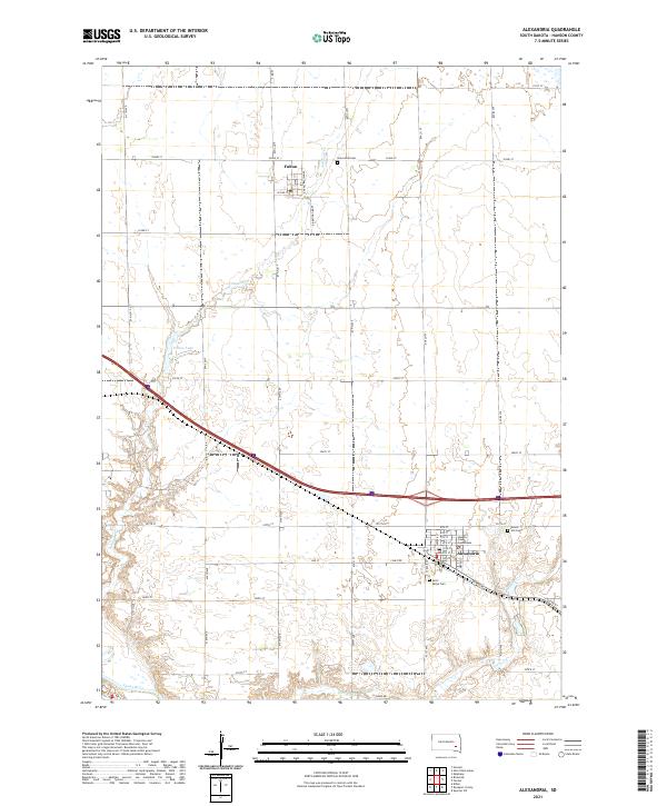
2021 Map of Alexandria
USGS Topo · Published 2021About this map
The Hanson County Courthouse stands as a central landmark within Alexandria, anchoring a structured grid of streets including Broad St and Quarry Rd. This 2021 survey of the Eastern South Dakota landscape captures a region defined by its agricultural layout and water systems, with the James River cutting through the southwestern corner and Johnson Cr winding southward past Fulton Lake. The town of Fulton sits to the north, organized along North Dakota Ave and W 2nd St, illustrating the enduring small-town settlement patterns of the plains.
Find a feature on this map
47 named features on this map. Tap any name to fly to it.
Don’t see what you’re looking for? This feature index may not catch every label — zoom into the map to look around manually.
Map Details
Editions of this 2021 Alexandria Map
This is the sole edition of this map. No revisions or reprints were ever made.
Other maps of this area

1899 · Alexandria
USGS Topo · 1:125,000

1955 · Sioux Falls
USGS Topo · 1:250,000

1957 · Alexandria
USGS Topo · 1:24,000

1957 · Ethan
USGS Topo · 1:24,000

1957 · Rockport Colony
USGS Topo · 1:24,000

1957 · Riverside
USGS Topo · 1:24,000

1957 · Farwell
USGS Topo · 1:24,000

1958 · Sioux Falls
USGS Topo · 1:250,000

1973 · Spencer SW
USGS Topo · 1:24,000

1973 · Ness Chain Lakes
USGS Topo · 1:24,000