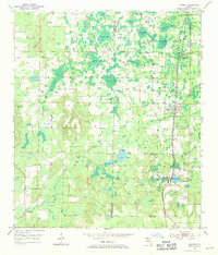
1952 Map of Alford
USGS Topo · Published 1971About this map
The town of Alford and the nearby community of Round Lake anchor this 1952 topographic study of the Florida panhandle. The Atlanta and St Andrews Bay railroad corridor dictates the settlement pattern, connecting these centers to smaller locales like Steele City. The landscape is defined by a dense network of swampy depressions and cypress-laden bays, including Bellamy Bay, Buchanan Bay, and Old Briar Bay, illustrating the complex hydrology of the Washington and Jackson County border. Local industry is represented by Kent Mill and Gilberts Mill, while social life is evidenced by country institutions such as New Orange Ch, White Pond Ch, and the Sand Hill Sch. The presence of several Clay Pits near the rail lines suggests a landscape shaped by both timber and mineral extraction during the mid-century era.
Find a feature on this map
42 named features on this map. Tap any name to fly to it.
Don’t see what you’re looking for? This feature index may not catch every label — zoom into the map to look around manually.
Map Details
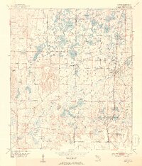
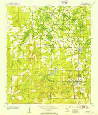
Editions of this 1952 Alford Map
3 editions found
Other maps of this area

1950 · Chipley
USGS Topo · 1:24,000

1950 · Wausau
USGS Topo · 1:24,000

1950 · Gap Lake
USGS Topo · 1:24,000

1951 · Chipley
USGS Topo · 1:24,000

1951 · Wausau
USGS Topo · 1:24,000

1951 · Gap Pond
USGS Topo · 1:24,000

1952 · Kynesville
USGS Topo · 1:24,000

1952 · Alford SE
USGS Topo · 1:24,000

1952 · Cottondale East
USGS Topo · 1:24,000

1952 · Cottondale West
USGS Topo · 1:24,000