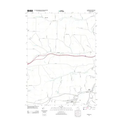
2013 Map of Alfred
USGS Topo · Published 2013About this map
Alfred and the surrounding Allegany County hills anchor this southern New York landscape, defined by the concentrated academic and residential developments of the SUNY Coll Of Technology At Alfred. The village layout reveals a tight-knit community where the Davis Memorial Carillon stands as a local landmark. Following the watercourses of Canacadea Cr and the Canisteo River, the map traces the historical transition from larger academic hubs to smaller rural hamlets such as Tinkertown, Alfred Station, and Hiltonville.
Find a feature on this map
95 named features on this map. Tap any name to fly to it.
Don’t see what you’re looking for? This feature index may not catch every label — zoom into the map to look around manually.
Map Details
Editions of this 2013 Alfred Map
This is the sole edition of this map. No revisions or reprints were ever made.
Other maps of this area
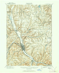
1915 · Hornell
USGS Topo · 1:62,500
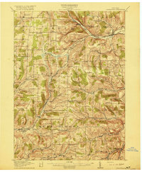
1916 · Canaseraga
USGS Topo · 1:62,500
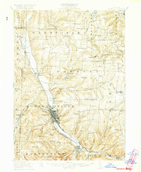
1918 · Hornell
USGS Topo · 1:62,500
1926 · Wellsville
USGS Topo · 1:62,500
1926 · Greenwood
USGS Topo · 1:62,500
1940 · Canaseraga
USGS Topo · 1:62,500

1950 · Elmira
USGS Topo · 1:250,000
1958 · Elmira
USGS Topo · 1:250,000
1962 · Elmira
USGS Topo · 1:250,000
1964 · Alfred
USGS Topo · 1:24,000