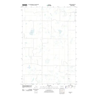
2011 Map of Alfred
USGS Topo · Published 2011About this map
The prairie landscape of Logan County is defined by a dense network of glacial wetlands and intermittent drainages, as seen in this 2011 survey. Centered on a grid of section-line roads such as 64th Ave SE and 61st St SE, the area maintains a sparse, agricultural character typical of the High Plains. Cottonwood Creek meanders through the southern portion of the quadrangle, serving as a primary drainage point for the numerous small ponds and sloughs that dot the terrain.
Find a feature on this map
14 named features on this map. Tap any name to fly to it.
Don’t see what you’re looking for? This feature index may not catch every label — zoom into the map to look around manually.
Map Details
Editions of this 2011 Alfred Map
This is the sole edition of this map. No revisions or reprints were ever made.
Other maps of this area

1896 · Jamestown
USGS Topo · 1:125,000

1896 · Edgeley
USGS Topo · 1:125,000

1925 · Edgeley
USGS Topo · 1:125,000

1952 · Jud NW
USGS Topo · 1:24,000

1953 · Jamestown
USGS Topo · 1:250,000

1953 · Jud
USGS Topo · 1:24,000

1956 · Jamestown
USGS Topo · 1:250,000

1982 · Fredonia NW
USGS Topo · 1:24,000

1982 · Schlecht-Weixel Dam
USGS Topo · 1:24,000

1982 · Fredonia NE
USGS Topo · 1:24,000