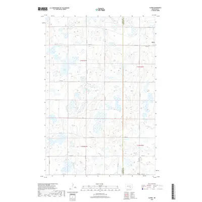
2018 Map of Alfred
USGS Topo · Published 2018About this map
The prairie landscape of Alfred is defined by a dense concentration of glacial wetlands and depressions, characteristic of the Missouri Coteau. This 2018 survey documents the small settlement and its surrounding agricultural grid along the boundary of Logan and LaMoure Counties. Notable for family historians, the map identifies local burial grounds including the Alfred Cem and the Postal Cem located in the southern sections. The terrain is marked by seasonal basins and permanent water bodies like Arnies Lake, with drainage primarily influenced by Cottonwood Cr as it meanders through the southeastern portion of the quadrangle. The township structure, encompassing t136n r67w and neighboring tracts, is traversed by an established network of section-line roads such as 55th St SE and 67th Ave SE.
Find a feature on this map
21 named features on this map. Tap any name to fly to it.
Don’t see what you’re looking for? This feature index may not catch every label — zoom into the map to look around manually.
Map Details
Editions of this 2018 Alfred Map
This is the sole edition of this map. No revisions or reprints were ever made.
Other maps of this area

1896 · Jamestown
USGS Topo · 1:125,000

1896 · Edgeley
USGS Topo · 1:125,000

1925 · Edgeley
USGS Topo · 1:125,000

1952 · Jud NW
USGS Topo · 1:24,000

1953 · Jamestown
USGS Topo · 1:250,000

1953 · Jud
USGS Topo · 1:24,000

1956 · Jamestown
USGS Topo · 1:250,000

1982 · Fredonia NW
USGS Topo · 1:24,000

1982 · Schlecht-Weixel Dam
USGS Topo · 1:24,000

1982 · Fredonia NE
USGS Topo · 1:24,000