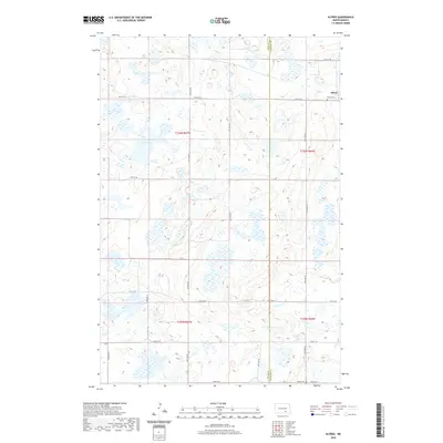
2020 Map of Alfred
USGS Topo · Published 2020About this map
Alfred serves as the primary settlement on this section of the Great Plains, located near the border of Logan and LaMoure Counties. The surrounding landscape is defined by the high concentration of prairie potholes and wetlands typical of the Missouri Coteau region, including Arnies Lake and the drainage of Cottonwood Creek. The township structure is clearly defined by a grid of rural roads such as 55th St SE and 63rd St SE, which provide access to isolated farmsteads and historical burial sites. Genealogists will find the Alfred Cemetery near the townsite and the Postal Cemetery in the southern reaches of the map, both representing the enduring heritage of the local farming community.
Find a feature on this map
16 named features on this map. Tap any name to fly to it.
Don’t see what you’re looking for? This feature index may not catch every label — zoom into the map to look around manually.
Map Details
Editions of this 2020 Alfred Map
This is the sole edition of this map. No revisions or reprints were ever made.
Other maps of this area

1896 · Jamestown
USGS Topo · 1:125,000

1896 · Edgeley
USGS Topo · 1:125,000

1925 · Edgeley
USGS Topo · 1:125,000

1952 · Jud NW
USGS Topo · 1:24,000

1953 · Jamestown
USGS Topo · 1:250,000

1953 · Jud
USGS Topo · 1:24,000

1956 · Jamestown
USGS Topo · 1:250,000

1982 · Fredonia NW
USGS Topo · 1:24,000

1982 · Schlecht-Weixel Dam
USGS Topo · 1:24,000

1982 · Fredonia NE
USGS Topo · 1:24,000