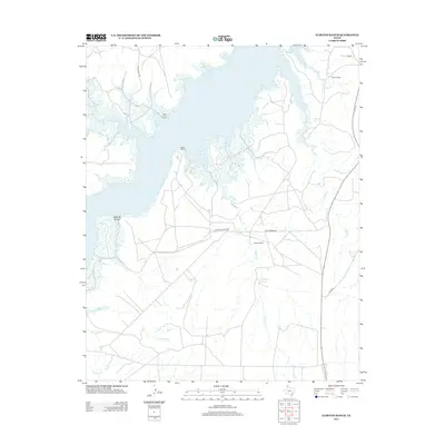
2012 Map of Alibates Ranch
USGS Topo · Published 2012About this map
Alibates Flint Quarry and the surrounding ranchlands define this corner of the Texas Panhandle, where the high plains break into the deep drainage systems of McBride Canyon. The landscape is dominated by the sprawling waters of Lake Meredith, which provides a focal point for modern access via Plum Creek Ramp and Bates Ramp. This 2012 survey illustrates the rugged interface between the historic Alibates Ranch and the water-carved terrain of the Canadian River valley.
Find a feature on this map
19 named features on this map. Tap any name to fly to it.
Don’t see what you’re looking for? This feature index may not catch every label — zoom into the map to look around manually.
Map Details
Editions of this 2012 Alibates Ranch Map
This is the sole edition of this map. No revisions or reprints were ever made.
Other maps of this area

1934 · Cliffside
USGS Topo · 1:62,500

1936 · Fourways
USGS Topo · 1:62,500

1936 · Cliffside
USGS Topo · 1:62,500

1939 · Sanford
USGS Topo · 1:62,500

1953 · Sanford
USGS Topo · 1:24,000

1953 · Chunky
USGS Topo · 1:24,000

1953 · Alibates Ranch
USGS Topo · 1:24,000

1953 · Evans Canyon
USGS Topo · 1:24,000

1953 · Deal
USGS Topo · 1:24,000

1953 · McDowell Creek
USGS Topo · 1:24,000