
1961 Map of Allagash Lake
USGS Topo · Published 1964About this map
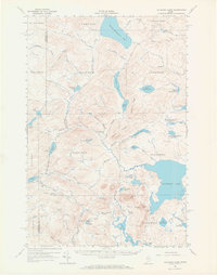
Chemquasabamticook Lake and Allagash Lake dominate this 1961 survey of the Maine north woods, a landscape defined by an intricate network of waterways and remote timberlands. The territory is organized by the Public Utilities Commission into various WELS townships, including T 8 R 15 Wels and T 9 R 14 Wels, where logging and forestry operations are evidenced by scattered Gravel Pits and a web of Private roads. High ground is marked by the Lookout Tower atop Allagash Mtn, overlooking a series of smaller water bodies such as Frozen Ocean, Mud Pond, and Wadleigh Pond. Human presence is largely transient, restricted to Camps and the Forest Service Camp located along the shoreline. The topography reveals the complex drainage patterns of Allagash Stream and Wadleigh Brook, which connect the numerous ponds and basins across Mud Pond Ridge and Maple Ridge.
Find a feature on this map
70 named features on this map. Tap any name to fly to it.
Don’t see what you’re looking for? This feature index may not catch every label — zoom into the map to look around manually.
Map Details
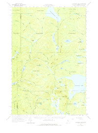
Editions of this 1961 Allagash Lake Map
3 editions found
Other maps of this area

1932 · Umsaskis Lake
USGS Topo · 1:48,000

1935 · Umsaskis Lake
USGS Topo · 1:62,500

1954 · Chesuncook
USGS Topo · 1:62,500

1954 · Baker Lake
USGS Topo · 1:62,500

1954 · Caucomgomoc Lake
USGS Topo · 1:62,500

1954 · Churchill Lake
USGS Topo · 1:62,500

1954 · Allagash Lake
USGS Topo · 1:62,500

1954 · St. John Pond
USGS Topo · 1:62,500

1954 · Presque Isle
USGS Topo · 1:250,000

1955 · Beaver Pond
USGS Topo · 1:62,500